One island in a wide ocean
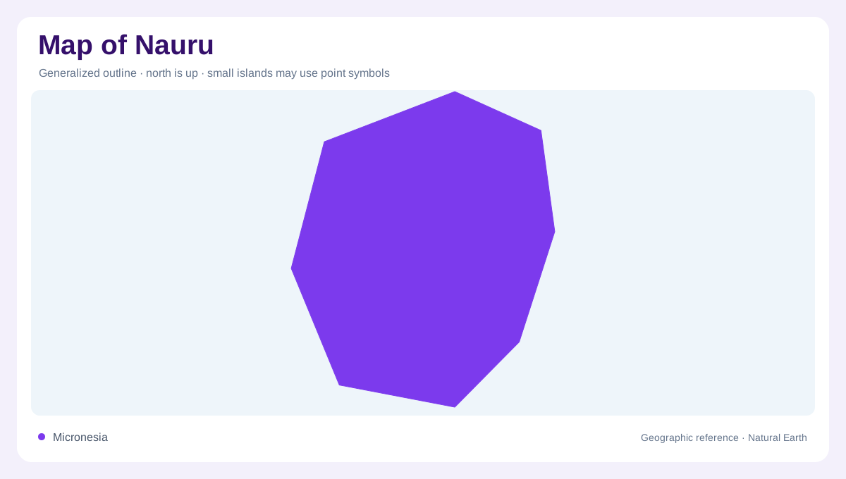
Nauru is a single Pacific island country, not an archipelago of separate inhabited islands. New Zealand’s MFAT describes a single 21-square-kilometre atoll, while FAO’s 2022 fact sheet records 2,000 hectares of land excluding coastal water. Its small outline lies near the equatorial Pacific, so an overview map should show the surrounding ocean as part of the geographic setting. At close scale, the island’s raised coral surface, coastal fringe and surrounding reef is more informative than a national boundary alone. The absence of neighbouring land nearby is itself a major map-reading fact. Because the island is isolated, ocean distance occupies far more of the regional map than land area does.
A low rim around rough ground
The island’s usable lowland forms a coastal fringe around a rugged interior. MFAT’s country plan says most people live around the low-lying coastal edge, while the interior is mostly uninhabitable because of phosphate mining and rough terrain. This creates a strong concentric pattern: settlements and infrastructure tend to be associated with the rim, whereas the centre is represented by irregular relief and degraded ground. A detailed map should not fill the interior with the same symbol as the coast. Elevation, land condition and shoreline exposure are different layers. The rim is therefore the most legible continuous band, even though its width and exposure vary around the shore.
Phosphate written into relief
Nauru’s phosphate history is written into its topography. Mining removed much of the central deposit and left uneven, rugged ground; the raised interior is therefore not a conventional agricultural plateau. Narrow passages between rough surfaces, residual vegetation and pockets of rehabilitated land create a patchwork rather than a continuous surface. Map readers should treat the central area as a landform shaped by both coral geology and extraction. The coastal rim, by contrast, is lower and more continuous. Keeping those two zones distinct prevents the island’s small size from hiding its dramatic internal relief. Mining history should be read as relief history, not merely as a land-use classification alone.
Very limited fresh water
Water is limited and spatially concentrated. FAO’s Nauru water-resource sheet records about 0.01 cubic kilometres annually in renewable water resources and no external renewable inflow in its long-term calculation. That does not mean every visible depression is a river or a dependable freshwater lake. On a physical map, coastal water, groundwater and rain-filled hollows should be distinguished from one another. There are no large river basins to trace across the island; the hydrologic story is one of a small catchment, porous coral terrain and strong dependence on rainfall and stored water.
Scale changes the map
At regional scale, Nauru’s central Pacific position and tiny area can make it disappear beside larger island groups. At local scale, the useful sequence is coast, low-lying fringe, rugged mined interior and surrounding reef. MFAT also identifies coastal flooding and sea-level rise as geographic pressures, which makes elevation especially important when reading planning maps. A good map keeps the atoll label, land boundary, reef edge, topographic surface and inhabited rim separate. That layered view explains Nauru without treating a single dot as a complete description.