Plains with a pronounced moisture gradient
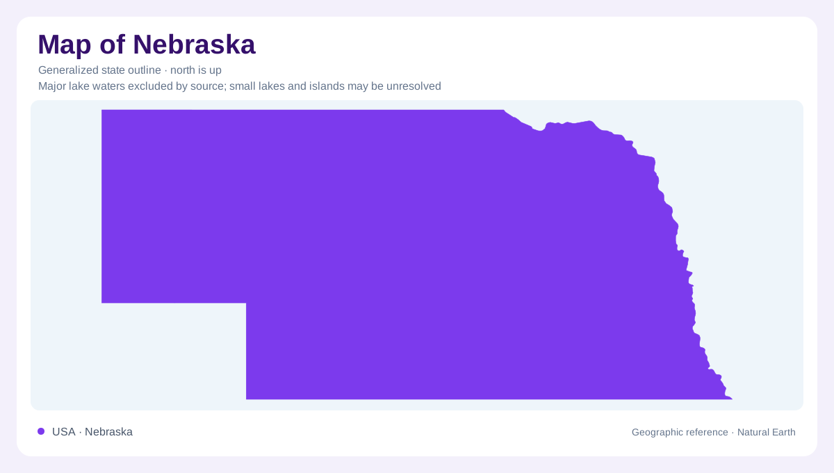
Nebraska extends across the central Great Plains, but its long east to west span crosses an important environmental transition. The southeast receives substantially more precipitation than the western panhandle, where conditions are semiarid. Distance from the oceans also allows strong seasonal temperature changes throughout the state. These patterns make a uniformly green or uniformly dry picture of Nebraska misleading. The outline identifies one state, while climate and landforms divide that space in other ways. Western bluffs, the Sandhills and river valleys all belong to plains country without sharing the same surface materials, local relief or relationship with available water.
Sand built hills away from the coast
The Nebraska Sandhills are a vast inland dune landscape, demonstrating that dunes do not require an ocean beach. Wind shaped their sand during repeated episodes, leaving extensive rolling terrain. Along their northern edge, the Niobrara River cuts a contrasting corridor through older material below the sandy surface. This juxtaposition is useful: the hills record sediment moved by wind, while the valley records erosion by flowing water. Neither process alone explains the whole scene. Sandhills geography therefore asks for attention to both the surface cover and the underlying deposits, particularly where rivers cut deeply enough to reveal layers hidden beneath neighboring uplands.
A valley gathers several ecological regions
East of Valentine, the Niobrara occupies a substantial valley with bluffs, tributary canyons and numerous waterfalls. Conditions vary between the two sides of the river. Steeper southern slopes contrast with terraces and more moderate slopes common to the north. Springs and shaded valley environments help support vegetation different from the surrounding plains. Northern forest, eastern woodland, ponderosa pine and several prairie communities meet within the corridor. This variety makes the valley an ecological meeting place rather than simply a channel across grassland. Its local topography helps explain how plants associated with different regions can occur close together along one river.
The panhandle preserves remnants of older plains
Scotts Bluff rises above the North Platte River in western Nebraska. Its steep sides expose stacked sedimentary layers, including sandstone, siltstone and volcanic ash. The bluff is a remnant left as surrounding deposits eroded, with resistant caprock helping preserve its summit. Nearby badlands contain ravines carved into more easily worn material. This history reverses an intuitive reading of an isolated high point: much of the surrounding landscape was removed, rather than the bluff simply rising on its own. Scotts Bluff and the neighboring formations thus reveal the erosion of an older plains surface within the modern Great Plains setting.
Rivers have a subsurface dimension
Nebraska's Platte, Loup, Niobrara and other river valleys contain sand and gravel deposits that can hold and transmit groundwater. These deposits connect surface geography with water beneath it. In the Niobrara valley, contrasts between more permeable beds and finer rock help produce springs and waterfalls. A waterfall here need not mark a high mountain landscape; it can mark a local geological boundary within plains country. Together, the dunes, incised valleys and western bluffs show why the word plains does not mean featureless. Nebraska's geographic distinctions become clearer when moisture, moving sediment and groundwater are considered alongside the state's broad horizontal extent.