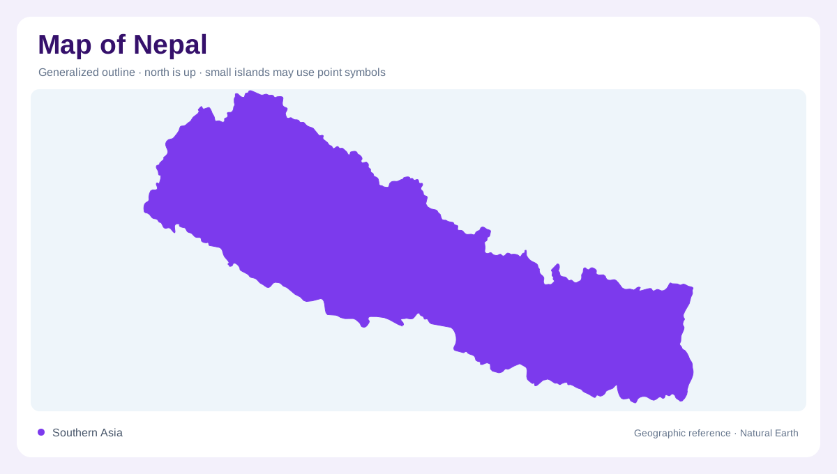
A narrow country of great relief
Nepal is a narrow, entirely landlocked country in the Ganges basin, pressed between India and China. Its width is modest compared with its vertical relief, so a map can make the terrain appear compressed. FAO divides the country into three physiographic belts: high Himalaya in the north, hills and mountain slopes through the centre, and the Terai plain in the south. The Himalaya occupy about 24 percent of the area, central hills 56 percent and Terai 20 percent. These belts are the basic framework for interpreting every river and settlement pattern. The country’s outline is therefore a cross-section through the Himalaya, not a broad east-west plain with mountains added at its northern edge.
From summits to the Terai
The high Himalayan belt contains fifteen peaks above 7,000 metres, including Mount Everest, whose summit rises higher than 8,800 metres. Southward, the Siwalik hills descend to elevations of roughly 300 to 700 metres before the land opens onto the Terai below 300 metres. This is not a simple staircase: valleys cut across the belts, ridges divide them, and local elevation can vary sharply. Contour lines are consequently more useful than colour bands alone. A mountain map should show both summit height and the corridors that carry water and movement. Relief shading should be checked against river valleys, because high peaks and inhabited corridors rarely occupy the same narrow strip.
Five major basin groups
Nepal’s rivers all drain toward the Ganges, but their routes are organized into five basin groups. From west to east, FAO lists the Mahakali, Karnali, Gandaki and Kosi basins, alongside southern basins that flow directly into India. The Karnali, Gandaki and Kosi descend from high catchments through deep relief before reaching lower plains. On a regional map, river direction reveals the country’s overall southward fall. On a local map, tributaries show how ridges partition watersheds and why adjacent valleys can have different drainage.
Monsoon and rain shadows
Rainfall is as uneven as relief. The southwest monsoon delivers more than three quarters of annual rain between June and September, while winter precipitation arrives through western disturbances. The profile describes much wetter conditions in eastern and southeastern areas than in the rain-shadowed upper valleys, with snow replacing rain above changing elevation thresholds. This produces a mosaic of humid slopes, dry high valleys, glaciated summits and warm lowlands. Comparing a climate layer with contours helps explain why a short horizontal distance can connect tropical Terai fields to alpine terrain. Monsoon arrows alone cannot explain the pattern; windward slopes, basin orientation and elevation must be read together across each map scale.
The lowland end of the system
The Terai is not merely Nepal’s southern edge; it is the lowland continuation of the Ganges plain and a major groundwater zone. Hill valleys and inner basins occupy the middle belts, while high Himalayan headwaters feed the five larger drainage groups. FAO records more than 6,000 rivers, a density that can overwhelm a small-scale map. Use basin outlines first, then major channels, then local streams. That order preserves the hierarchy from snow and monsoon sources to transboundary rivers, floodplain aquifers and the broader Ganges system.