A compact North Sea lowland
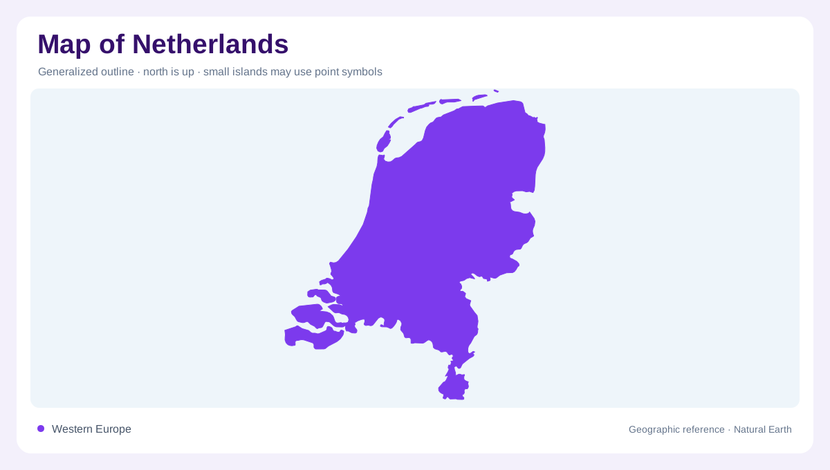
On a map of western Europe, the Netherlands appears as a compact lowland at the North Sea, with Belgium south and Germany east. Its outline is shaped less by mountains than by water, estuaries, reclaimed land and barrier islands. This article focuses on the European Netherlands. The Caribbean municipalities of Bonaire, Sint Eustatius and Saba are part of the country, but receive separate coverage in this collection. At broad scale, the Rhine, Meuse and Scheldt connect the country to a much larger delta. At close scale, coast, lake, canal and polder symbols distinguish environments that can look deceptively uniform.
Small changes in relief
Relief is subtle but not absent. The western and northern lowlands include polders, peat districts and marine clay, while sandy higher ground becomes more conspicuous in the east and south. Limburg forms a contrasting southeastern corner of rolling terrain, with the Maas valley cutting through it. The map’s colour breaks may be small because elevation differences are measured in metres, yet those modest changes influence drainage and land use locally. Read contour intervals carefully: a flat-looking area may sit below sea level, at sea level, or on slightly raised sandy ground. The distinction matters for interpreting waterworks and settlement patterns.
River branches and inland waters
Water networks organize the national shape. After entering from Germany, the Rhine divides into the Waal, Nederrijn and IJssel, while the Meuse crosses the southern delta before reaching the sea. The Scheldt estuary lies partly beyond the southern border. Inland, the IJsselmeer is a large former sea enclosed by the Afsluitdijk; the Markermeer and connected lakes add broad blue spaces to the centre. These are not isolated lakes in a mountain basin. These managed freshwater lakes differ from tidal estuaries, despite belonging to the same delta landscape. A drainage map therefore explains the Netherlands better than a simple relief map alone can.
Barrier islands and managed shores
Along the North Sea, the Wadden Islands form a separated chain of barrier islands, tidal flats and channels. Zeeland in the southwest is another fragmented coastal region, where islands, peninsulas and estuaries complicate the outline. The delta works, dunes, dykes and storm surge barriers are geographic features as well as infrastructure. Government descriptions distinguish national waters, regional waterways and flood defences, and note that rivers need room through floodplain lowering and side channels. On a map, these interventions should not be mistaken for natural ridges. They show how shoreline and river geography have been continually managed over many recorded centuries.
Cities aligned with water
Settlement is concentrated in a western urban arc often called the Randstad, but the physical pattern extends beyond its cities. Rotterdam lies near the delta’s maritime opening; Amsterdam sits beside the former Zuiderzee; Utrecht occupies an inland position near major river routes. Smaller towns and villages follow dikes, canals, sandy ridges and reclaimed margins. At national scale, identify catchments and coastal barriers first, then use administrative boundaries for orientation. The key map-reading lesson is vertical as much as horizontal: water levels, embankments and drainage divides can govern relationships that a flat political outline alone conceals beneath its continuous lowlands.