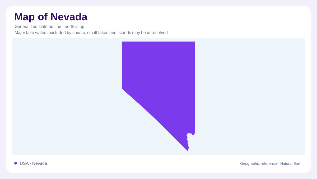
Many basins beneath one regional name
Most of Nevada lies within the Great Basin, a name that describes drainage rather than one bowl. The region contains smaller basins where water has no surface outlet to the ocean. Precipitation may enter the ground, evaporate or collect in lakes and sinks. Pyramid Lake and the Humboldt Sink are examples of destinations within this interior drainage. The Great Basin also crosses state boundaries, so it should not be treated as another name for Nevada. Conversely, Nevada includes land outside that drainage region. Distinguishing the state from the watershed region is the first step toward understanding its geography.
Ranges repeat across the interior
The Basin and Range landscape has a related but different meaning. Stretching of the crust produced repeated mountain ranges and intervening valleys, with many ranges trending north to south. A journey across that pattern encounters successive changes in elevation rather than one continuous flat desert. The landforms and the drainage often interact, but their boundaries need not coincide exactly. Mountain slopes collect water and support environments different from the valleys below. An outline cannot reveal this repeated relief. Nevada's apparently open interior is therefore geographically intricate, even where settlements are widely separated and a statewide view suggests large empty spaces.
Altitude complicates the desert label
The Sierra Nevada intercepts Pacific moisture before much of it can reach Nevada, contributing to the state's dry climate. Yet dryness does not imply uniform heat. High elevations can support snowy conditions and cooler environments above desert valleys. Within the Great Basin, plant communities change with height, creating mountain habitats separated by expanses of lower desert vegetation. Southern lowlands around Las Vegas experience a much hotter setting than many high northern or eastern locations. These contrasts make both elevation and latitude necessary to a useful description. Nevada combines dry country with considerable vertical variety, rather than matching a single lowland desert image.
Reno follows water between two lakes
The Truckee River begins at Lake Tahoe, passes through the Reno and Sparks area and continues to Pyramid Lake. This connection places the Truckee Meadows within an internally draining system despite the river's mountain source. Tahoe and Pyramid are not interchangeable lakes: one lies upstream in the Sierra setting, while the other receives the river in the desert. The river also supplies water to the communities along its middle course. Tracing that sequence gives northwestern Nevada a clear geographic structure, connecting mountain runoff, an urban valley and a terminal lake without assuming that every river eventually reaches the sea.
Southern Nevada looks to the Colorado
Las Vegas belongs to a different water geography. Colorado River water drawn from Lake Mead is a principal supply, alongside groundwater from the Las Vegas Valley basin. Local rain and mountain snowmelt recharge that groundwater, while the Colorado brings water originating farther away in the Rocky Mountains. This separates southern Nevada's supply connections from the Truckee route near Reno. It also shows why state borders provide an incomplete explanation of water availability. Nevada's two major urban areas occupy dry landscapes, but their relationships with rivers, lakes and surrounding mountains differ substantially. Those connections are central to understanding where settlement is concentrated.