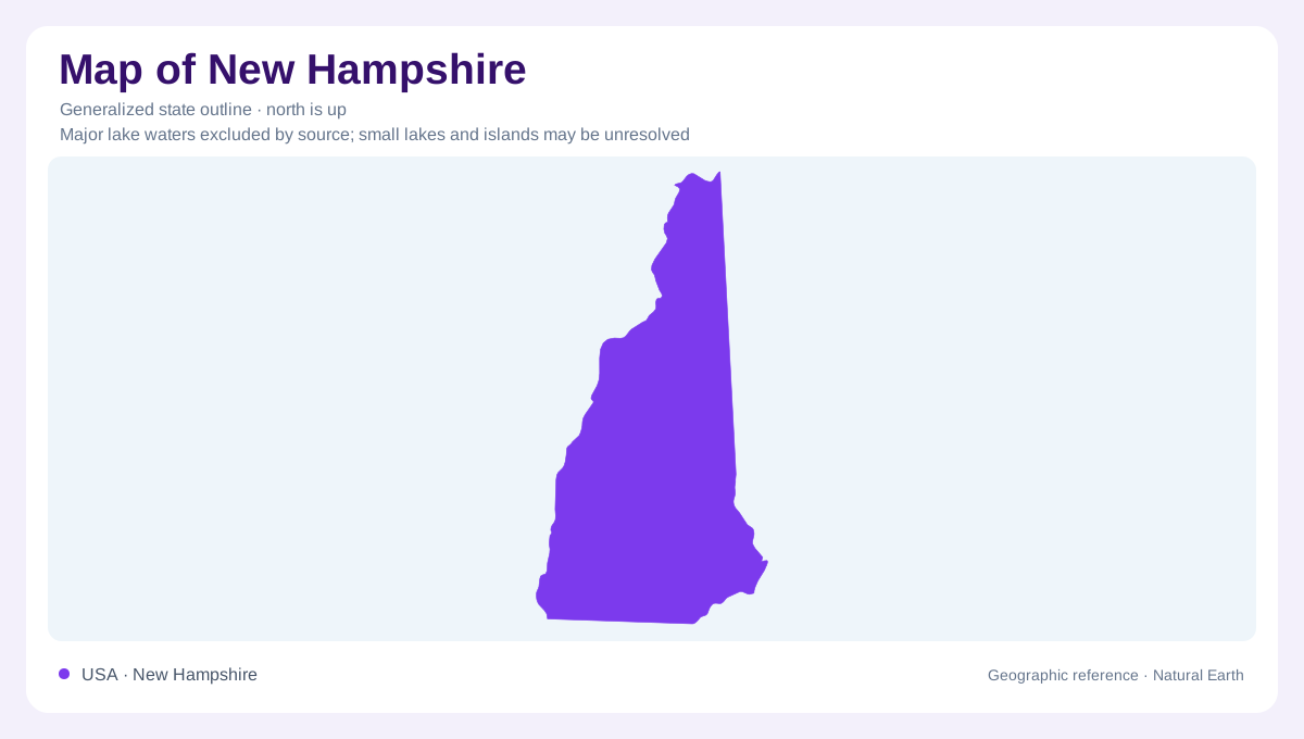
A narrow state with several geographic directions
New Hampshire extends from the Canadian border to Massachusetts, between Vermont and Maine, with a short Atlantic frontage in the southeast. Its elongated outline can encourage a simple northern mountain and southern lowland division. That is useful initially, but rivers reveal more complicated connections. Some waters head toward the Connecticut along the west; others collect in the Merrimack system or flow east toward Maine. Near the coast, freshwater rivers enter tidal environments. The state's geography therefore combines a strong north to south extent with drainage crossing it in several directions, linking mountain terrain, inland communities and the Atlantic margin.
Mountain headwaters take different routes
The White Mountains supply headwaters to rivers that soon separate. The Pemigewasset begins at Profile Lake in Franconia Notch and heads toward Franklin. The Saco starts at Saco Lake in Crawford Notch, then descends toward Maine. The Ammonoosuc follows another route, reaching the Connecticut at Haverhill. These differences show how neighboring mountain areas can feed separate river systems. A watershed boundary may lie along a ridge, while a notch creates a low passage through surrounding high ground. Looking at the destinations of these rivers is more informative than assuming that all streams in the White Mountains follow one common course.
The Merrimack assembles its tributaries
At Franklin, the Pemigewasset and Winnipesaukee rivers join to form the Merrimack. Farther downstream, the Contoocook reaches the Merrimack in Concord, and the Piscataquog meets it in Manchester. This sequence gives central and southern New Hampshire a linked river framework. The tributaries do not all approach from the same direction: the Contoocook travels north from its headwaters before joining the main river. Geographic orientation based only on the state's overall tilt would miss that reversal. The river network is assembled from local catchments whose shapes reflect surrounding relief, rather than from a single uniform downhill direction across the whole state.
The western valley and the tidal southeast
The Connecticut provides a western drainage corridor, receiving rivers such as the Ashuelot at Hinsdale and the Mascoma at West Lebanon. Those tributaries connect interior landscapes to a river continuing beyond New Hampshire. In the southeast, the Exeter and Squamscott names describe freshwater and tidal portions of one river leading into Great Bay. That transition marks a different kind of geographic boundary: the influence of the sea extends inland along an estuarine system. A coastal edge alone does not explain where freshwater ends and tidal influence begins, just as a state border does not define the full extent of a watershed.
Elevation and ocean influence overlap
Northern and western New Hampshire are less moderated by the Atlantic than the southeast. Higher terrain adds another influence, with Mount Washington illustrating how elevation can produce conditions far colder than nearby lower country. Portsmouth occupies a coastal setting, while Concord lies inland and the northern valleys retain a more continental character. These differences matter even within a small state. Combining river direction with elevation and distance from the sea gives a practical geographic reading: mountain headwaters divide, tributaries gather through the interior, and coastal rivers eventually encounter tides. The outline supplies their regional context without showing those internal landforms.