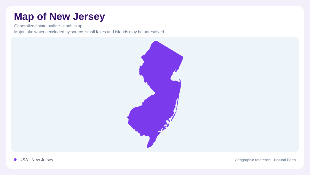
A coastal state with an upland northwest
New Jersey occupies a narrow position between the Delaware River side of the Mid-Atlantic region and the Atlantic coast. Its outline stretches from northern uplands toward the lower country around Delaware Bay. That compact shape contains a substantial geological transition. Bedrock landscapes in the north differ from the broad sedimentary coastal plain farther south. The difference affects relief, streams and groundwater, rather than merely scenery. New Jersey should therefore be read as more than a continuous coastal strip. Its northern ridges and valleys connect with inland Appalachian landscapes, while much of the south belongs to the Atlantic Coastal Plain.
Rock structure helps organize the north
Northern New Jersey includes uplands associated with the New England province, together with parts of the Valley and Ridge and Piedmont regions. Different rock histories produce different patterns of terrain. Folded sedimentary layers in the Valley and Ridge can leave resistant ridges beside valleys worn into weaker material. The Piedmont includes rocks affected by faulting, ancient rifting and volcanic activity. Glacial ice later modified parts of northern New Jersey, removing material from some ridges and depositing sediment in valleys. The resulting landscape records overlapping events, so neither glaciation nor bedrock structure alone explains every hill, valley or patch of low ground.
The coastal plain includes the Pinelands
Southward, the coastal plain introduces less consolidated sediment, with sand, silt and clay replacing much of the exposed bedrock framework. The Pinelands occupies part of the Outer Coastal Plain, where gently rolling ground and sandy soils create a distinctive landscape. Its open spaces complicate the idea that all New Jersey is metropolitan development. Beneath the Pinelands, sand and gravel hold groundwater in the Cohansey system. This underground reservoir is part of the region's physical geography even though it has no visible shoreline. Understanding the area requires considering the material below the surface alongside its forests, wetlands and gently varying elevation.
Dark streams begin in groundwater
Water in the shallow Pinelands aquifer often reaches close to the surface, supporting bogs, marshes and swamps. It also feeds streams whose dark color comes from organic substances leached from soils. That color should not automatically be interpreted as muddy water. The Mullica, Great Egg Harbor, Maurice and Toms rivers are important regional waterways, connecting the interior with southern New Jersey's bays. Many familiar Pinelands lakes were created by damming streams or wetlands, adding another distinction between natural drainage and modified water bodies. A lake's shape alone cannot establish whether it occupies a natural basin or an artificial impoundment.
The Atlantic influence reaches unevenly inland
New Jersey's higher northwest generally experiences cooler conditions than its lower Atlantic coastal areas, especially in winter. The Atlantic supplies moisture and moderates nearby temperatures, while inland air masses also influence the state. Geography therefore helps explain climatic differences across relatively short distances. A useful reading connects the cooler northern uplands, the Piedmont transition and the sandy southern plain without assuming that their boundaries follow county lines. The Pinelands rivers add a second perspective, showing how groundwater and surface channels lead toward coastal bays. Together, these relationships give the state's compact outline an interior structure that its perimeter cannot convey alone.