A state extending beyond its metropolis
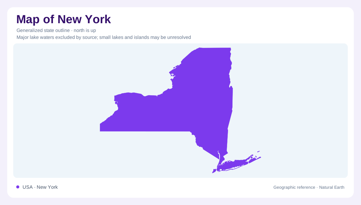
New York's geography reaches from Atlantic waters to Great Lakes shores and northern mountain country. New York City occupies only one part of that arrangement; its dense metropolitan setting should not stand for the entire state. The Adirondacks, western plateaus, and broad lowlands introduce different scales of space and relief. Long Island extends eastward from the city into a marine setting, while inland New York belongs to a landscape extensively reshaped by glaciers. Reading the state's outline establishes the relationship between these distant regions, but their terrain requires an additional distinction between uplands, lake margins, river valleys, and islands.
Adirondack rock and surrounding lowlands
The Adirondack region contains ancient crystalline rocks, including metamorphic and igneous formations. Around this northern highland, younger sedimentary rocks underlie lower country such as the Saint Lawrence Valley. Farther west, the lowlands beside Lakes Erie and Ontario contrast with the Appalachian Plateaus of southern and western New York. The plateau bedrock is commonly horizontal or gently inclined, although rivers and glaciers have cut a much rougher surface into it. This difference matters: rugged terrain does not always indicate tightly folded mountains. Geological structure and the later work of erosion together explain the changing landscape between the lake shores and inland valleys.
The Hudson's tidal geography
The Hudson River estuary links inland valley environments with the Atlantic. Its tidal wetlands include both freshwater and brackish settings, so tidal influence should not automatically be read as salty water. Stockport Flats, Tivoli Bays, Iona Island, and Piermont Marsh are separated examples within the national estuarine research reserve. Their distribution along the river demonstrates that an estuary can be an extended corridor rather than a single coastal mouth. Water levels, wetland edges, and connected habitats give this corridor a geography of its own. A river line on a small map would simplify a much wider and more varied system.
Long Island's glacial framework
Long Island runs roughly parallel to the Connecticut coast, with Long Island Sound to the north and the Atlantic to the south. Two major terminal moraines, Harbor Hill and Ronkonkoma, preserve material deposited near former ice margins. Their ridges merge toward the western island and separate eastward, contributing to the North and South Forks. Outwash sand and gravel spread between and beyond the moraine belts. Along the southern edge, barrier beaches enclose Great South Bay. This arrangement explains why the island's northern and southern shores differ: glacial ridges, gently sloping outwash surfaces, and younger coastal deposits occupy different positions.
Water softens some boundaries
New York's large water bodies influence nearby land without erasing regional differences. The Atlantic moderates coastal districts, the Great Lakes affect western and northern lake country, and Lake Champlain influences the northeastern margin. Inland areas remain exposed to air masses moving across the continent. Beneath the surface, glacial deposits can partly fill older valleys and soften their relief, while permeable sand and gravel carry groundwater. These overlapping effects make coast versus interior more informative than a single statewide climate label. They also explain why an island aquifer, an Adirondack bedrock slope, and a sediment filled inland valley require different geographic interpretations.