Two long islands in the Pacific
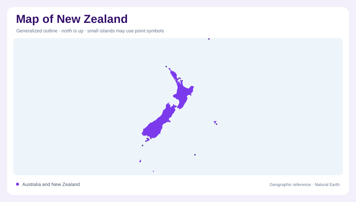
New Zealand extends through the southwest Pacific southeast of Australia, with two main islands separated by Cook Strait. The North Island and South Island form the core of the map, while Stewart Island lies below the South Island and smaller islands extend the national outline offshore. Their long axes run mostly northeast to southwest, while mountain chains, rainfall exposure and coastal orientation create sharp contrasts across the breadth of each major island. At regional scale, measure the straits and ocean gaps; at local scale, keep island panels separate because relief, rivers and settlement patterns do not continue seamlessly across water.
Volcanoes across the North Island
The North Island is organized by a volcanic and geothermal zone running through its centre. Lake Taupō occupies a large caldera within the central plateau, while Tongariro, Ngauruhoe and Ruapehu rise farther south in a chain of volcanic peaks. North of this zone, the island narrows into the Auckland and Northland peninsulas, with harbours and low ridges breaking the outline. The east contains drier basins and ranges, whereas wetter western slopes face the Tasman Sea. Reading volcanoes, plateau edges and coastal inlets together explains why the North Island is more than a uniformly rolling green shape on a continental projection.
The Southern Alps and Fiordland
The South Island carries the strongest relief. The Southern Alps form a high spine, including Aoraki Mount Cook, and separate wetter western landscapes from the broad Canterbury Plains on the east. Fiordland occupies the southwest, where glacial erosion cut deep valleys and fourteen fiords into the coast. Fiordland’s glaciers carved U-shaped valleys, many now holding lakes, and hundreds of lakes dot the region. On a physical map, blue water in Fiordland therefore belongs to a carved mountain system, not a lowland network of unrelated ponds. Valleys retain the imprint of ice even where the sea now fills their lower reaches.
Lakes and rivers with different origins
Rivers show how the islands divide their rainfall. The Waikato drains much of the central North Island toward the west coast, while the Whanganui follows a deeply incised route from volcanic country. In the South Island, braided rivers cross Canterbury’s gravel plains from alpine sources toward the Pacific; the Waitaki crosses the southern margin of Canterbury. Lakes such as Taupō, Wakatipu and Te Anau have different origins and settings. Compare their catchments with nearby ranges, because a large blue shape may represent a volcanic basin, glacial trough, or broad river-fed lowland. Basin shapes matter more than names when following water.
Cities on plains and harbours
Settlement clusters around coasts, plains and sheltered harbours rather than following one central corridor. Auckland occupies a narrow volcanic isthmus between major inlets; Wellington sits beside Cook Strait at the North Island’s southern edge; Christchurch spreads across the Canterbury Plain; Dunedin and Invercargill face the lower South Island’s varied shores. These labels provide orientation, not a substitute for terrain. A useful map sequence is to locate the two main islands, trace the axial ranges, identify volcanic or glacial water, and only then compare cities, agricultural plains and remote coastal margins. Distance and scale deserve checking before comparing apparently nearby places.