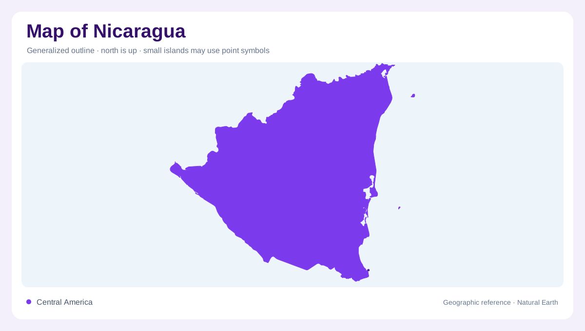
The middle of the isthmus
Nicaragua occupies the middle of the Central American isthmus, narrowing between Honduras to the north and Costa Rica to the south. The Pacific Ocean borders its west, while the Caribbean Sea opens a much longer eastern edge. This uneven coastline is the first clue to its geography: a compact Pacific-facing region contrasts with a broad Caribbean lowland. A national map is most useful when divided into Pacific, Central and Caribbean regions rather than treated as one continuous surface. Those regions differ in width, relief, rainfall and drainage, so the country's north-south outline conceals a strong west-east environmental gradient.
Volcanic lakes beside the Pacific
The Pacific region contains volcanic ground, fertile plains and the two great lakes that dominate Nicaragua's interior map. Lake Managua, or Xolotlán, lies northwest of Lake Nicaragua, or Cocibolca, and the two basins are linked through the Tipitapa area. Volcanic cones and low ranges rise beside these waters, especially along the Pacific margin. Lake Nicaragua is not an inland sea detached from the coast: the San Juan River carries its eastern outflow toward the Caribbean. When reading the map, connect volcanoes, lake shores and the river corridor instead of treating each blue shape as isolated. The inland lakes therefore connect Pacific-facing terrain with Caribbean drainage.
Central ridges and intermontane valleys
Central Nicaragua is more mountainous, with small intermontane valleys between ridges. The region forms a transition from the Pacific lowlands toward the Caribbean plain, and its relief helps explain the short western rivers and longer eastern catchments. Matagalpa, Jinotega, Estelí and Nueva Segovia occupy different parts of this elevated belt, where shaded relief is more informative than a single elevation tint. Coffee-growing uplands and broad valleys may appear close together yet sit in separate basins. Trace passes and headwaters carefully: the central highlands are a divide and a network of local corridors, not one uninterrupted mountain wall.
The broad Caribbean lowland
East of the mountains, Nicaragua opens into a largely flat, forested Caribbean region with extensive river systems and lower population density than the Pacific side. The Río Coco marks a northern transboundary drainage, while the Río Grande de Matagalpa, Prinzapolka and Escondido systems reach the Caribbean through wetlands, lagoons and estuaries. Southward, the Río San Juan drains Lake Nicaragua and approaches the coast through a deltaic lowland. Offshore Caribbean islands, including the Corn Islands, belong to this maritime setting but must remain separate on a map. Coastline, river mouth and inland lake are different geographic symbols at any map scale.
A map read from lakes to coasts
Managua and the Pacific corridor provide familiar orientation, yet they should not stand for the entire country. Granada and Rivas sit near Lake Nicaragua, while Caribbean settlements relate more closely to river mouths, lagoons and coastal routes. The official regional division assigns most territory to the Caribbean plain, even though the Pacific contains much of the concentrated urban and agricultural landscape. At broad scale, locate both lakes and the two seas; at intermediate scale, follow the central divide; at close scale, distinguish volcanic slopes, intermontane valleys, floodplains and coastal wetlands. That sequence keeps Nicaragua's asymmetrical geography visible in every region.