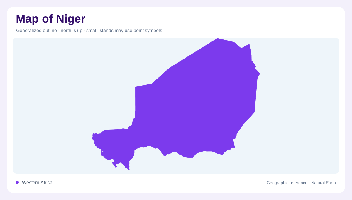
A wide landlocked gradient
Niger is a landlocked country in West Africa, stretching between Algeria and Libya to the north and Nigeria and Benin to the south. Mali and Burkina Faso border its west, while Chad lies east. The national outline crosses a strong climatic gradient: roughly three quarters of the territory belongs to desert environments, with the remainder extending through Sahelian and Sudanian zones. Because the country is wider than its settled southern belt, a small-scale map can make the populated areas appear central. In reality, much of the northern outline is open desert, plateau, dune field and sparse drainage.
Massifs and dune fields in the Sahara
Northern Niger is dominated by the Sahara, but it is not featureless. The Aïr massif rises from surrounding desert, while the Ténéré and other sandy expanses spread across broad basins. Rock surfaces, ergs, isolated massifs and dry valleys produce different map textures even where permanent water is absent. Relief is generally subdued outside the major uplands, so contour spacing deserves attention. A faint valley may represent a seasonal route for runoff, whereas a dune field records wind-shaped sand. Distinguish the Aïr’s elevated blocks from the flatter desert around them before interpreting the northern half as one uniform colour.
The transitional southern belt
Southward, the landscape becomes Sahelian, with scattered grassland, sandy soils and a short rainy season. Farther south, the Sudanian zone supports denser savanna and more reliable seasonal moisture. The transition is gradual rather than a sharp line, and its position shifts across years. Agricultural and pastoral landscapes therefore follow rainfall, soils and access to shallow water as much as administrative boundaries. Maradi, Zinder and the southern borderlands sit within this more favourable belt, but their labels should not obscure the broad north-south change. A climate map and relief map together explain the concentration of settlement. Rainfall and groundwater sustain different cultivated areas.
Two drainage directions
Niger’s drainage is divided between western and eastern systems. The Niger River and its tributaries shape the southwest, while the Komadougou Yobé and the Lake Chad basin organize the southeast. Between them lie dry valleys, koris, dallols and goulbis that may carry water only seasonally. The country also contains many ponds, some permanent and often linked to groundwater. Around the Niger valley, floodplain and wetland symbols differ from the desert channels of the Aïr and the sandy depressions of the east. Follow water beyond the border: most major catchments continue into neighbouring countries and shared basins. Local runoff and transboundary river flow sustain different wetlands.
Reading the map from Niamey north
Niamey sits beside the Niger River, making the southwest a useful anchor for reading the national map. From there, compare the river corridor with the southern agricultural belt, the central Sahel and the enormous desert north. The map should show the country as a sequence of environments rather than a single Sahara label. Use latitude for the broad climatic pattern, contours for the Aïr and other uplands, and blue symbols for rare but important water. Seasonal ponds, dry channels and aquifers are not interchangeable. Their different persistence explains why Niger’s physical geography cannot be reduced to rainfall alone.