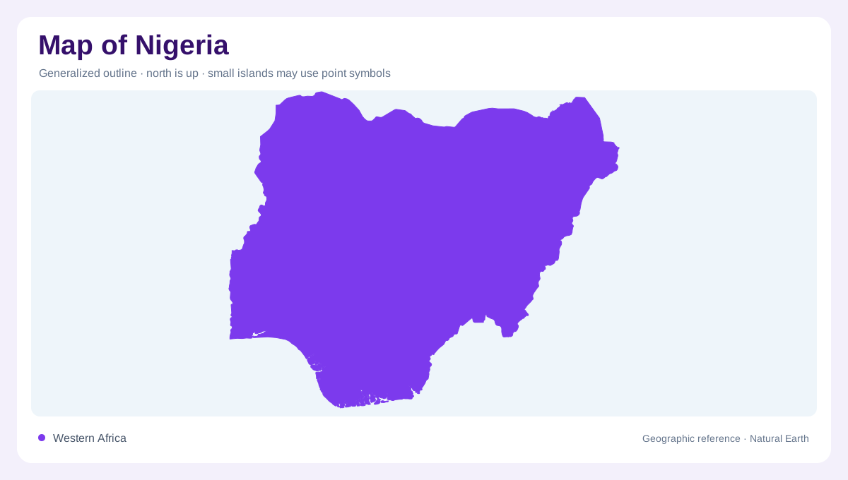
A broad Atlantic-facing country
Nigeria occupies a broad section of tropical West Africa, with Benin on the west, Niger to the north and northwest, Chad toward the northeast, and Cameroon along the east. The Atlantic forms the southern edge through the Gulf of Guinea. Its outline contains an environmental transition, from near-desert conditions in the northeast to mangrove forests and humid rainforest in the south. A country map should therefore be read as a north-south sequence crossed by river basins. The coastline is not merely a boundary; it is the downstream end of systems that begin far inland. Coastal wetlands receive that water.
Savanna, forest and central highlands
Three broad ecological belts clarify the interior: Sudan Savanna in the north, Guinea Savanna across the Middle Belt, and rainforest farther south. A mountainous zone rises near the Cameroon border, while a central plateau interrupts the otherwise gradual change between lowlands. These divisions are useful on a physical map because vegetation, rainfall and surface water alter together, though their boundaries are transitional. The northern savanna is drier and more seasonal; the southern belt carries denser vegetation and shorter distances between rivers. Relief shading helps separate the central plateau from the surrounding savanna plains. The plateau divides several adjoining river catchments.
The Niger and Benue meet
The Niger basin covers much of the country. The Niger enters at the northwestern frontier, flows southeastward, and meets the Benue near Lokoja before turning south toward the Gulf of Guinea through the Niger Delta. Other tributaries, including the Sokoto and Kaduna, connect northern landscapes to this main system. Lake Chad is the only major internal drainage basin, receiving the Komadougou Yobe and related rivers in the northeast. Separate southwestern and southeastern littoral basins drain toward the coast, including the Cross and Imo systems. Basin boundaries explain Nigeria more clearly than state outlines alone. The coastal drainage becomes tidal and distributary.
Seasonal floodplains and tidal wetlands
Water availability changes with both latitude and season. Southern coastal areas receive long wet periods, while the north has a shorter rainy season and pronounced dry months. Low-lying fadama floodplains appear across savanna and Sahel zones, where seasonal inundation creates sharply different map patterns from adjacent uplands. The Niger Delta is another wet landscape, but its channels, mangroves and tidal creeks are coastal rather than inland floodplain features. Groundwater also follows geology: sedimentary basins, alluvial valleys and fractured basement rocks store water differently. Read wetlands beside their catchments, not as isolated blue marks. Fadama margins expand and contract with inundation.
Cities within contrasting regions
Lagos occupies the southwestern littoral, while Abuja lies inland near the central transition and Kano anchors the northern map. These cities help orient the country, yet settlement also follows river valleys, coastal plains, plateau margins and the productive Middle Belt. On a broad sheet, locate the Niger-Benue confluence and the Lake Chad basin first; then trace the littoral basins toward the Gulf of Guinea. At closer scales, distinguish mangrove coast, rainforest, savanna, plateau and seasonal floodplain. That sequence prevents Nigeria’s large political outline from hiding its layered physical geography. Climate, relief and water can change quickly across neighbouring map panels.