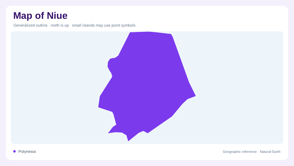
One island in Polynesia
Niue is a single, isolated island in Polynesia, positioned within the broad triangle formed by Tonga, Samoa and the Cook Islands. It is a raised coral atoll rather than a low ring of separate islets, so the national outline is one compact landmass surrounded by open ocean. The island lies northeast of New Zealand and presents a roughly oval shape with a deeply indented coastal edge. At regional scale, its isolation dominates the map; at island scale, the important clues are the elevated rim, narrow reef shelf, coves and chasms rather than a network of neighbouring islands. Limestone shapes it.
A porous coral plateau
Coral limestone controls Niue’s relief. The interior stands above the sea as an uplifted plateau, while coastal terraces descend in a series of distinct steps toward cliffs, reef flats and small coves. The tourism authority describes a narrow reef shelf that drops quickly into deep ocean, a useful warning against reading the shoreline as a broad shallow lagoon. Caves, arches and rock pools puncture the rim, and fossil coral appears in exposed coastal formations. There are no rivers or lakes on the island; rainfall instead moves through porous rock, underground passages and springs before reaching the sea. Groundwater paths matter more than surface channels.
Karst forms around the coast
The coastline changes character around the island. Alofi lies on the west coast near the central part of the oval, beside a shore shaped by cliffs, reef platforms and small embayments. In the north, Avaiki and Matapa Chasm illustrate how caves and enclosed rock walls interrupt the rim. Limu’s pools and the Talava Arches belong to the same karst coast, but their forms should not be merged into one generic beach symbol. Southern and eastern sections show additional cliff lines, reef flats and sheltered recesses. A detailed map rewards separating terrace edge, cave entrance, chasm and open coast.
Forest over hidden drainage
Away from the rim, Niue’s surface is covered by tropical forest, gardens and village clearings rather than broad river valleys. The raised coral platform produces thin, porous soils in some places and deeper pockets of weathered material elsewhere. Because surface water is scarce, an ordinary topographic map may appear almost empty inland; that absence is geographic information. Paths and settlement labels generally follow the island’s circumferential road and interior tracks, but the physical pattern is better understood through villages, forest blocks, sink-like depressions and underground drainage. Land area is about 260 square kilometres, with elevated ground behind the narrow coastal rim.
Reading the island at two scales
Niue’s map is easiest to misread when ocean space is cropped away. Keep the single island centred, retain surrounding bathymetry where available, and use Alofi as a western orientation point rather than a proxy for the whole territory. The fourteen villages are distributed around a settled rim, while the interior remains more lightly marked. Offshore, the reef shelf and deep water explain why the coastline feels abrupt despite the island’s modest size. Compare a regional Pacific chart with a local plan: one shows isolation, the other reveals karst terraces, caves, chasms, forest and narrow coastal access points.