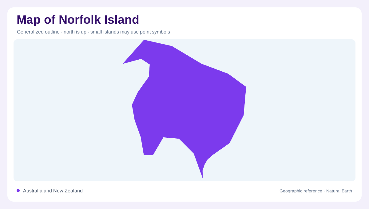
A small island in the Pacific
Norfolk Island lies in the southwest Pacific between Australia and New Zealand, a compact landform whose surrounding ocean is part of its geography rather than empty background. The main island is not a flat coral atoll. Parks Australia describes it as volcanic, rising around Mount Pitt and Mount Bates, with basalt shaping much of the national park. On a regional map, isolation explains the island’s distinctive plants and animals; on a local map, its varied terrain appears as steep coastal edges, small bays, and a limited interior ridge system. Keep the main island, nearby islets, and open water in separate visual layers when comparing scale.
Basalt ridges and northern cliffs
Mount Pitt and Mount Bates form the central high ground from which Norfolk Island’s volcanic structure becomes easiest to read. Basaltic rock underlies much of the park, while red krasnozem and thin skeletal soils occupy different parts of the slopes. The summit ridge continues toward the northern coastline, where cliffs provide a sharp edge to the island’s outline. Eastern and western slopes are broader and more soil-covered than the exposed ridge. Contours therefore matter: a map that merely colors the park cannot show how quickly ground rises from coastal margins. Relief shading, spot heights, and drainage lines together reveal the island’s compact but uneven interior.
Southern shores and settled ground
South and east coasts present a different reading from the northern cliffs. Kingston occupies a low southern setting associated with historic buildings and open shore, while bays and headlands interrupt the shoreline around the settled parts of the island. Norfolk Island pines are conspicuous geographic markers, but they do not represent the original extent of every forest type. The park and Botanic Garden preserve contrasting patches of native vegetation within a landscape also shaped by earlier clearing and cultivation. A detailed map should distinguish protected forest, pasture, built areas, beaches, and rocky coast instead of treating the whole island as one green surface.
Phillip Island offshore
Phillip Island lies six kilometres south of Norfolk Island and belongs to the national park, yet it deserves its own map position. Parks Australia describes it as a refuge for threatened and migratory species, with seabirds nesting across its predator-free landscape. Its cliffs, bare gullied slopes, lava, tuff, and wave-washed rock platforms give it a rougher visual character than the settled main island. The separation by sea is meaningful: Phillip Island is not a southern suburb or a peninsula. Show the channel, label the island independently, and use a separate scale when an inset enlarges its small outline.
Reading the island at scale
Read Norfolk Island at three scales. A Pacific chart explains its isolation; a park map shows the relationship between Mount Pitt, Mount Bates, the northern cliffs, and Phillip Island; a plan clarifies bays, ridges, vegetation, and the Kingston plain. Parks Australia notes that Norfolk’s flora and fauna evolved in isolation because the island was never joined to a landmass. That fact is a map-reading clue as much as a biological one: ocean gaps are part of the ecological boundary. Avoid collapsing marine space, parkland, and settlement into one symbol.