A long descent toward the Atlantic
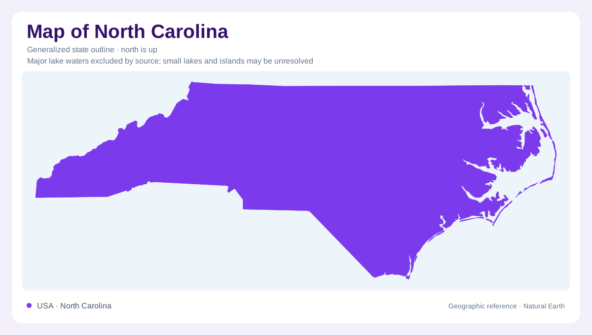
North Carolina stretches across three broad landscapes: Appalachian mountain country in the west, the Piedmont through the middle, and the Coastal Plain toward the Atlantic. Their sequence gives the state a geographic direction, but the descent is not one continuous slope. Valleys interrupt the mountains, residual uplands break the Piedmont, and river channels cross the lower plain. The state's outline establishes this west to east span without displaying the landforms themselves. Keeping these three regions separate is the first step toward understanding why coastal sounds, inland river crossings, and high mountain forests occupy different settings within North Carolina.
Mount Mitchell and the western heights
Mount Mitchell, in Yancey County northeast of Asheville, rises to 6,684 feet and is the highest point east of the Mississippi River. Its summit forest includes Fraser fir, a reminder that elevation changes ecological conditions within a generally humid southern state. Mountain temperatures can differ substantially from those of the coast and surrounding lower valleys. The Blue Ridge landscape also affects precipitation as moist air rises over high ground. Consequently, western North Carolina contains both elevation contrasts and important water gathering areas. A mountain's location alone is insufficient: its height and position relative to adjoining valleys explain much of its character.
The Piedmont meets softer sediment
The Piedmont contains varied hills and uplands underlain largely by igneous and metamorphic rocks. Toward the coast, these older hard rocks meet the younger sediment of the Coastal Plain. That transition is commonly called the Fall Line because streams can develop rapids or falls where their gradient changes across it. Historically, such locations offered opportunities to harness water power. The line is therefore both a geological transition and a useful explanation for human geography. It should not be imagined as a continuous cliff. Local rock resistance, channel position, and accumulated sediment produce different expressions along individual river crossings.
Rivers spread across the Coastal Plain
The Neuse, Tar, and Cape Fear belong to North Carolina's Atlantic drainage, carrying water through lower eastern terrain. The Coastal Plain is generally a lowland sloping toward the sea, although it includes local slopes and higher ground. Sand, silt, and clay beneath it reflect a long history of deposition. Near the coast, broad sounds complicate the apparent meeting of river and ocean. Pamlico and Roanoke sounds occupy estuarine environments behind barrier islands, where marshes and submerged vegetation contribute important habitat. The coastline therefore has an inland water margin as well as an ocean facing edge, separated by narrow strips of land.
The Outer Banks remain mobile
The Outer Banks are a barrier island chain shaped by waves, wind, storms, tides, and sediment transport. Their present form also reflects older buried river channels and sediments deposited during changing sea levels. Inlets can open during storms and later change position or close, while tidal currents redistribute sand on both sides of an opening. Cape Hatteras projects into this dynamic setting, accompanied offshore by Diamond Shoals. These relationships make a coastal outline a simplified reference rather than a permanent inventory of beaches and channels. Mainland, sound, barrier island, inlet, and offshore shoal are distinct geographic elements that must be understood together.