A plain with several different histories
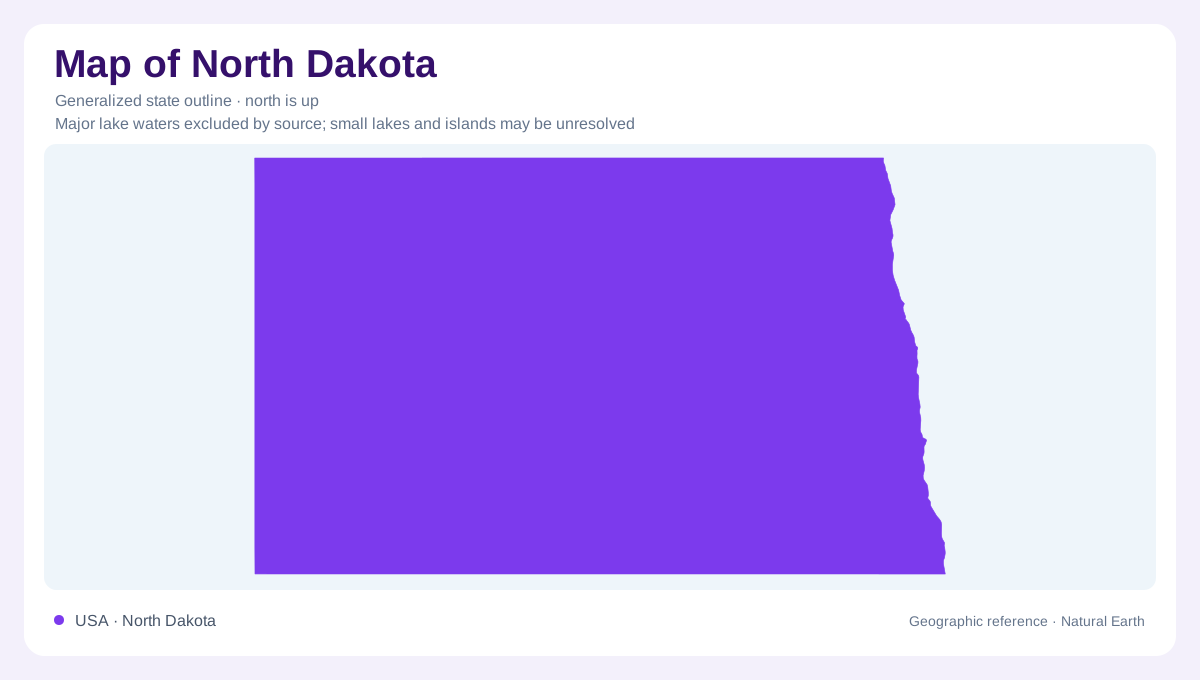
North Dakota is often imagined as one level prairie, but its landscape records several very different processes. The Missouri Escarpment helps divide the Central Lowland to the northeast from the Great Plains to the southwest. Between them, the Missouri Coteau forms a transition rather than a perfectly sharp boundary. The state broadly rises toward the west, yet local relief repeatedly interrupts that pattern. Glacial lake floors, hummocky uplands, isolated buttes, and deeply cut river valleys coexist within its rectangular outline. These contrasts are essential for understanding the state, even though an outline illustration cannot show the heights or drainage divides.
The former floor of Lake Agassiz
Along the eastern edge, the Red River Valley owes its exceptional flatness to sediment deposited in glacial Lake Agassiz. Despite its name, this valley resembles a broad plain more than a narrow mountain trough. Fine silt and clay accumulated across the former lake bottom, while beaches and eroded shoreline scarps remain around its margins. The Red River now meanders over that surface toward Manitoba. In the northeast, the Pembina Escarpment marks a much steeper rise away from the valley floor. Distinguishing the river channel from the surrounding ancient lake plain makes the scale of eastern North Dakota easier to understand.
Potholes and stalled ice
The Glaciated Plains farther west contain a different glacial inheritance. Ice deposited mixed sediment, pushed material into ridges, and left meltwater channels. Along the Missouri Coteau, sediment covered stagnant ice and helped it survive while the surrounding landscape changed. As buried ice melted, overlying material collapsed into an irregular arrangement of hills and depressions. Many depressions became prairie potholes. Their water is not necessarily joined into a continuous stream network. The Turtle Mountains also carry hummocky glacial terrain and numerous ponds. Thus a patch of blue on a detailed map may represent an isolated basin rather than a river widening.
The Little Missouri cuts downward
Southwestern North Dakota has terrain shaped largely by erosion of sedimentary layers. The Little Missouri Badlands occupy a deeply dissected belt along the river, where tributaries have carved gullies, ridges, and buttes. Glacial diversion of the river helped establish a steeper drainage route and encouraged downcutting. Sandstone can protect softer underlying material, leaving capped pillars or hills. Burning lignite has also baked adjoining sediment into resistant clinker, often conspicuously red. These features explain why nearby slopes can look so different. Their shapes reflect both the arrangement of the original beds and the unequal speed at which those beds wear away.
Different basins retain different clues
The Souris Plain records another former glacial lake, with flat or gently sloping ground unlike the nearby hummocky uplands. Devils Lake occupies a basin with naturally inward drainage, adding another distinct water pattern. Neither setting should be treated as a smaller version of the Little Missouri valley. Across North Dakota, the central geographic question is whether a landform resulted chiefly from deposition, glacial reshaping, or stream erosion. A relief map can separate these patterns, while a drainage map explains their connections. The state boundary supplies orientation; the ancient lake margins, escarpments, and river corridors supply the explanation of its landscape.