A peninsula-facing outline
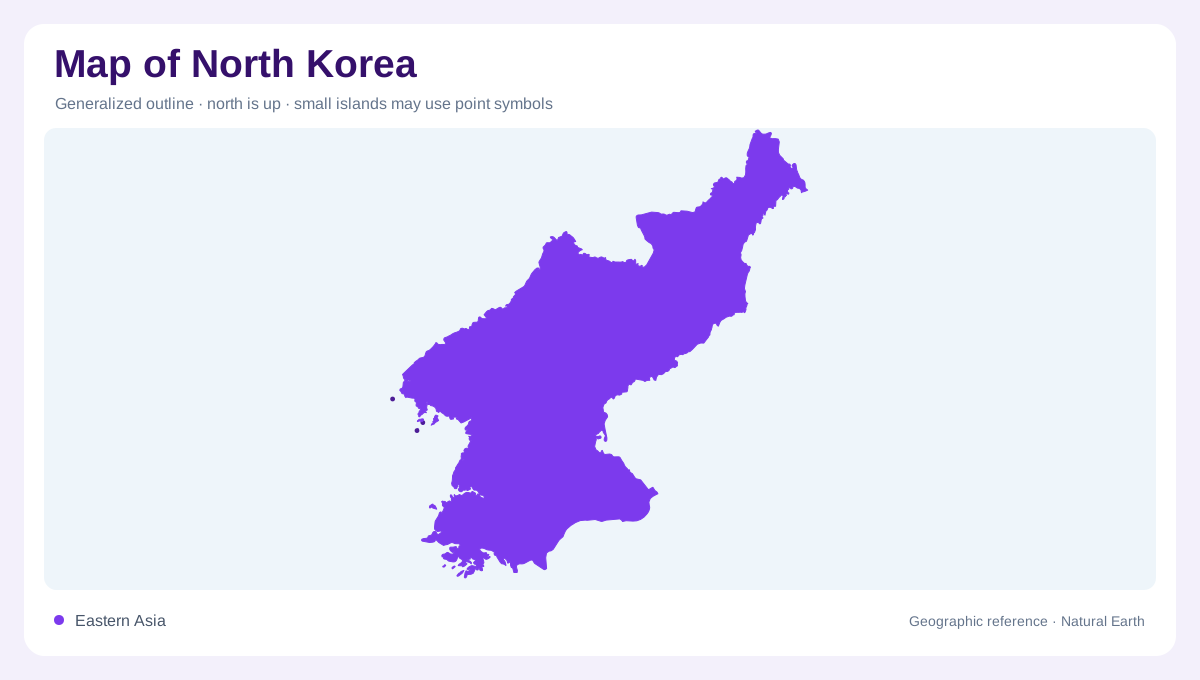
North Korea occupies the northern part of the Korean Peninsula in eastern Asia. China lies along much of the north, the Russian Federation touches the northeastern corner, the Sea of Japan borders the east, and the Yellow Sea and Korea Bay open westward. The southern edge meets South Korea. This arrangement gives the country two contrasting map faces: a mountainous continental margin toward the north and east, and a lowland-facing western side connected to broad coastal waters. A regional view is essential because the outline is part of a peninsula, not an isolated inland block.
Mountains dominate the interior
FAO’s country profile reports that mountains and uplands cover about 80 percent of the country. The northeastern highlands average roughly 1,000 metres, and the central mountain chain continues through extensive forested hills. Relief is not uniform: high mountain country in the northeast, surrounding hilly belts, and lower coastal terrain form a descending sequence. On a shaded-relief map, the northern and eastern highlands should therefore be read as a connected framework rather than a few isolated peaks. Valleys and scattered cultivated plots occur within this upland pattern, but they do not erase the dominance of mountain terrain.
Western plains and the Taedong
The western plains occupy a smaller share of the land than the mountains, yet they are a major geographic zone. FAO identifies them as mainly rice-growing lowlands, while the Taedong forms the country’s largest internal river basin and flows through Pyongyang westward toward Korea Bay. Smaller west-coast streams also rise in northern and eastern ranges before reaching the sea. The plain should not be mistaken for a continuous level surface: river valleys, estuaries, reclaimed margins, and nearby hills create local variation. Pyongyang is a useful urban anchor, but the Taedong basin extends beyond the city and organizes a much wider map.
East coast and border rivers
The east coast zone is described by FAO as submountainous or hilly, with pockets of lowland among forest, pasture, and cultivated slopes. Farther north, the Yalu and Tumen rivers show how drainage crosses the national outline. The Yalu runs southwest from the Changbai Mountains toward Korea Bay and forms a boundary with China. The Tumen runs east from the same mountain region toward the Sea of Japan, forming boundaries with China and, downstream, Russia. Their opposite directions make the mountain source area a key watershed on any physical map. The map should show these flows as connected systems, not as simple national rivers, because their headwaters and outlets link several regions together.
Seasonal water and map scale
North Korea has a continental climate with four distinct seasons. FAO records a short, humid, rainy summer influenced by monsoon winds and notes that about 60 percent of annual precipitation falls between June and September. That seasonality helps explain why drainage, floodplain, and cultivated-land symbols need context. A national map can show the broad division between northeastern forested mountains, eastern slopes, and western plains; a larger-scale sheet is needed for tributaries and lowland breaks. Reading the Yalu, Tumen, Taedong, and coastal basins together reveals a country organized by watersheds as much as by its outer boundary.