A landlocked Balkan crossroads
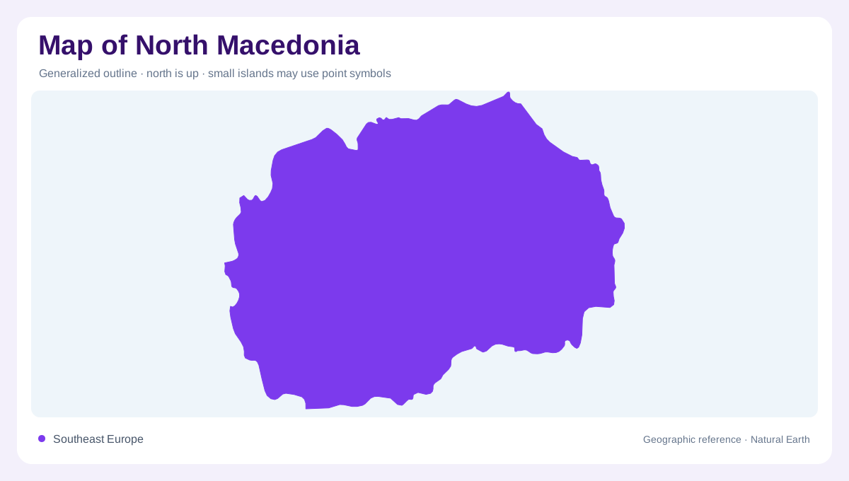
North Macedonia lies in Southeast Europe, in the central Balkan Peninsula. Its borders connect the country with Serbia and Kosovo to the north, Bulgaria to the east, Greece to the south, and Albania to the west. This position places several landscape systems within a compact, landlocked outline. The Vardar corridor is the principal north–south organizing line, but it is interrupted by basins, gorges, and mountain rims. A national map becomes clearer when the capital region, western valleys, central river country, and southern lake basins are treated as connected but distinct geographic units.
Polog and the western highlands
The Polog valley occupies a broad plain at roughly 400 to 500 metres, within a western region encompassing the Šar Mountains, Zeden, Suva Gora, Bistra, Mavrovo plateau, and Korab massif. The official tourism authority places the Radika valley within the same regional frame. Korab rises above 2,700 metres, while Šar contains numerous high peaks and glacial lakes. These elevations explain the sharp contrast between valley settlements and alpine-looking ridges. The Vardar’s source near Vrutok adds a useful map anchor: a major river begins in the western mountains before travelling through the country’s central corridor. Southward, Pelagonia offers another broad inland agricultural plain around Bitola and Prilep. Baba rises along its western side, while the Crna river links plains and gorge country. This combination of open agricultural basins and enclosing mountains differs markedly from the narrow valleys farther west.
Ohrid and Prespa lake country
In the southwest, the Ohrid–Struga valley lies between Jablanica and Galicica, with Lake Ohrid filling part of the basin. Farther southeast, Lake Prespa occupies a high valley between Galicica and Baba, according to the official profile of the Resen area. These are not interchangeable blue patches. Each lake belongs to a different mountain setting, and the surrounding slopes control how its shoreline is read. Pelister and Baba also contain high glacial lakes, so a physical map should distinguish large tectonic or intermountain waters from small alpine basins and artificial reservoirs.
The Vardar and central relief
Central North Macedonia follows the valleys of the Vardar and Crna rivers. The Vardar region includes the Crna confluence and tributaries such as the Babuna, Topolka, Bregalnica, and Luda Mara. Mountain massifs including Jakupica, Babuna, Kozhuf, and Konechka break up the central lowlands. Gorges at Taor, Veles, and Demir Kapija show where the river corridor narrows through resistant relief. Tikveš Lake and the Lisiche reservoir add human-shaped water features beside natural valleys. Their symbols should be read with contours, because a river line alone cannot explain the enclosing hills.
Southeastern valleys and Dojran
The southeast combines the Strumica–Radoviš basin, the Gevgelija–Valandovo valley, and the lower Vardar. The official regional description names Belasica, Kozhuf, and Ograzden among the surrounding mountains, with the Dojran valley and Lake Dojran providing a separate southeastern water basin. This area has a stronger Mediterranean influence and generally drier conditions than the high western ranges. For map reading, the contrast is instructive: North Macedonia is not one continuous plateau. Its valleys, lakes, gorges, and mountain walls form a sequence of linked compartments, with the Vardar providing the clearest thread between them.