An island chain above a changing seabed
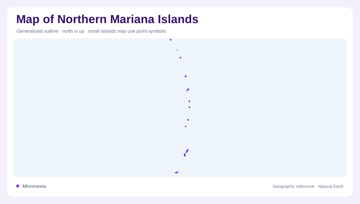
The Northern Mariana Islands stretch northward through the western Pacific, with Saipan, Tinian, and Rota forming the principal southern reference points. Their disconnected outlines belong to a much larger geological system. East of the islands, the Pacific Plate descends beneath the Philippine Sea Plate at the Mariana Trench. Westward, volcanic activity and spreading seabed record a different part of that collision. An archipelago map therefore contains several parallel features: islands, submarine volcanoes, deep ocean basins, and the trench. These features should not be confused merely because a small map compresses them into neighboring lines.
Saipan’s limestone and coastal wetlands
Saipan combines elevated limestone terrain with much younger material along its coastal margins. At American Memorial Park, the National Park Service identifies Quaternary marsh deposits, emerged carbonate sand, and artificial fill, surrounded by older Tagpochau Limestone. Micro Beach occupies the park’s western side, where pale carbonate sand marks the transition toward marine water. Nearby mudflats, marshes, and mangroves create another shoreline environment. This close juxtaposition matters geographically: a beach, wetland, and limestone slope may fit within one local view, yet each has a different origin and relationship with water.
Tinian and Rota in the southern group
Tinian and Rota remain separate islands rather than extensions of Saipan. NOAA explains that these southern islands expose uplifted parts of the Mariana forearc, containing marine reef material, sediments, and older volcanic deposits. Fault movement and uplift help explain how former marine formations now stand above sea level. Their present coastlines consequently reveal only one stage of a longer geological history. The CNMI survey division publishes separate island maps, useful for examining individual outlines and elevations. Reef margins and channels add further boundaries beyond the visible land, separating neighboring coastal environments within the southern group.
Northern islands and the volcanic arc
The northern continuation leads toward the Mariana volcanic arc, where emerged islands are only the visible summits of a broader submarine landscape. NOAA describes magma rising above the descending plate to feed volcanoes roughly parallel to the trench. Many volcanic peaks remain underwater; only some reach the surface as islands. This explains why blank ocean between mapped landforms need not mean an absence of relief. Seamounts, volcanic slopes, and deeper basins continue below sea level. Northern island symbols should retain their actual spacing, without implying that each supports towns, roads, or regular access. Behind the volcanic arc, stretching of the overriding plate has opened ocean basins. This backarc setting differs from the trench on the opposite side, showing that the island chain borders several distinct kinds of underwater terrain.
Reefs within a wider marine landscape
Around Saipan, Tinian, and Rota, the CNMI Coral Reef Initiative monitors coral, fish, algae, seagrass, and invertebrates. Such nearshore habitats belong to a different depth zone from the trench or offshore volcanic peaks. A detailed coastal map can distinguish reef flats, lagoons, wetlands, and beaches; a regional ocean map shows the surrounding plate boundary and submerged relief. Reading both together connects the islands’ exposed rocks with their marine setting. The Northern Mariana Islands are neither a single limestone platform nor a uniform row of volcanoes, but varied landforms within an evolving oceanic system.