A long mainland along the north
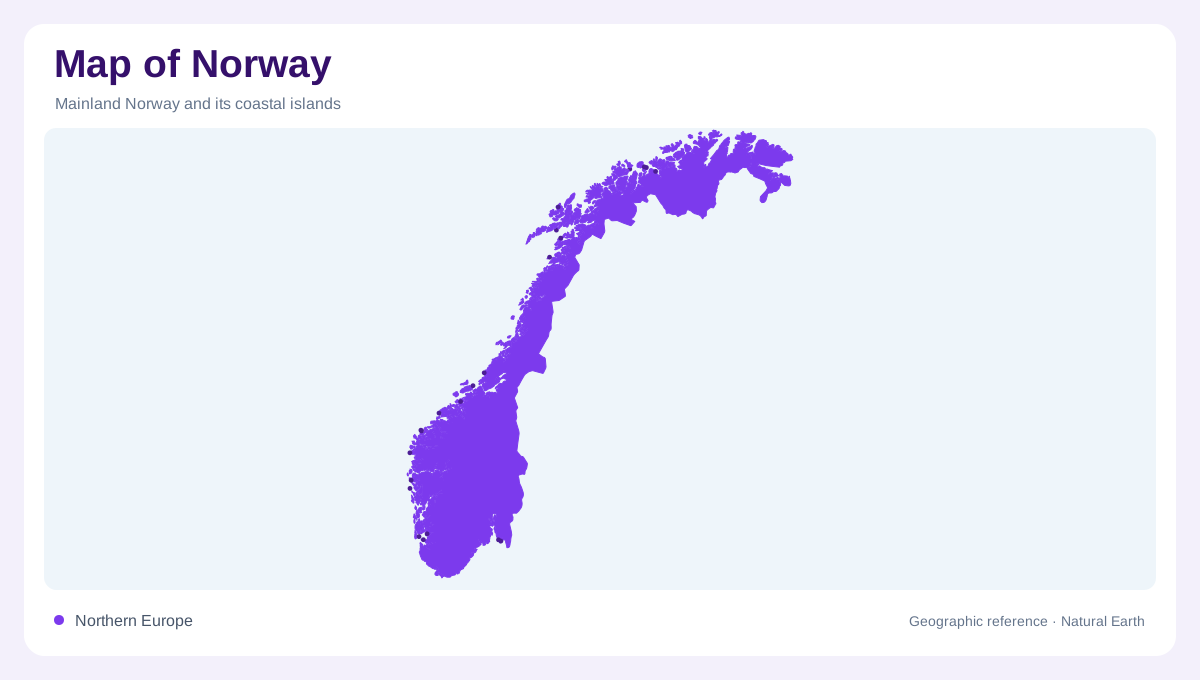
Norway’s mainland forms a long, irregular strip along the western and northern side of the Scandinavian Peninsula. The North Sea and Skagerrak open southward, the Norwegian Sea faces west, and the Barents Sea approaches from the northeast. Sweden lies along much of the eastern land border, while Finland and Russia meet the far north. This orientation makes a single page difficult to read: southern fjords, central mountain country, and Finnmark’s broad northern landscapes occupy very different latitudes. Start with the mainland’s spine, then add coast, islands, and northern components as separate layers.
Mountains cut by water
The Scandinavian mountain system runs through Norway, with high plateaus, steep valleys, and glaciated summits shaping the interior. Hardangervidda and Jotunheimen provide useful relief references, while the highlands around the Sognefjord and Hardangerfjord descend sharply toward drowned valleys. A fjord is not simply a bay symbol: its long water arm records the relationship between steep land, former ice, and the sea. Contours, elevation tints, and glacier symbols should be read together. They explain why nearby settlements may be separated by ridges even when the coastline appears to connect them directly. Snowfields feed streams that descend toward lower valleys, while mountain divides separate catchments. Fjords penetrate this elevated landscape from the coast, bringing marine water close to steep uplands and creating sharp contrasts between sheltered shores and exposed mountain ground.
Fjords, lakes and settlement corridors
Water organizes Norway’s settlement pattern at several scales. The Oslofjord opens the southeast toward the Skagerrak, while the Trondheimsfjord creates a broad central reference and the long Sognefjord reaches deep into mountain country. Inland, Lake Mjøsa and the Glomma drainage belong to a different, less marine map system. Oslo, Bergen, Trondheim, and Tromsø are useful anchors, but each sits within a distinct coastal or valley setting. A map that shows only city points loses the physical corridors that connect urban areas to fjords, river valleys, agricultural lowlands, and mountain passes.
An island-fringed coastline
Norway’s coast is broken into islands, skerries, sounds, and peninsulas from the south to Finnmark. Lofoten and Vesterålen form a conspicuous northern archipelago, while the Helgeland coast contains countless smaller islands between mainland mountains and open sea. These groups should not be merged into one generic coastal fringe. At broad scale, islands explain Norway’s maritime reach; at close scale, channels and sheltered waters become the main geographic information. The Norwegian Coastal Administration treats the Norwegian coast and the coast of Svalbard as separate navigational settings, a useful reminder that sea space is part of the map.
Svalbard and Jan Mayen apart
When the national frame includes Norway’s Arctic components, Svalbard and Jan Mayen require separate placement far from the mainland. Svalbard is an archipelago dominated by glaciers, bare mountains, tundra, and wide protected landscapes; Spitsbergen is its largest island, with Longyearbyen as a recognizable settlement anchor. Jan Mayen is an isolated volcanic island in the northern ocean, not an extension of Finnmark or Svalbard. The Governor of Svalbard provides dedicated thematic mapping for its archipelago. Use insets and independent scale bars so these distant landforms do not appear to sit beside the mainland coast.