Between a Great Lake and plateau country
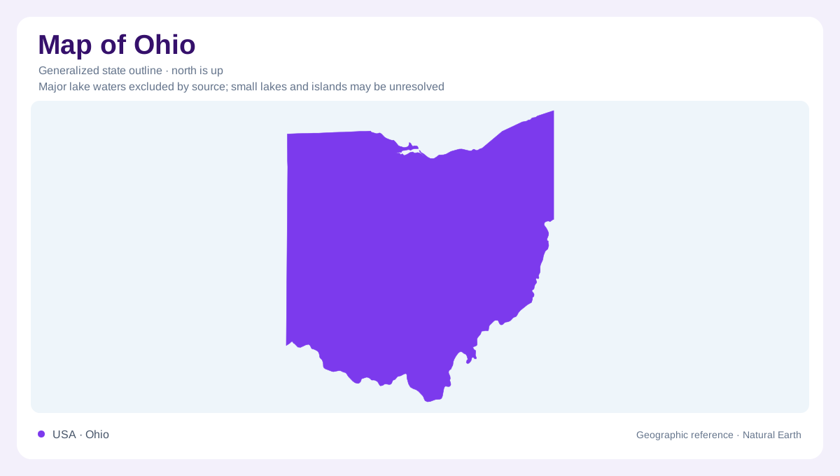
Ohio occupies an interior position where Great Lakes influences meet the western side of Appalachian terrain. Lake Erie provides a northern reference, while the rolling and dissected country farther south and east belongs to a different landscape system. The state is not enclosed by mountain barriers, so air masses can reach it from both the Arctic and the Gulf of Mexico. This setting connects physical geography with climate: proximity to the lake matters, but so do distance inland and the shape of the land. Ohio's outline identifies the state without revealing these internal contrasts in elevation, surface material, or exposure.
The lake modifies its shore
Lake Erie stores and releases heat differently from the surrounding ground. Shoreline districts consequently tend to have cooler summers and warmer winters than places farther inland. Under suitable winter conditions, cold air crossing the relatively warmer water gains heat and moisture, producing lake effect snow downwind. Ohio's southeastern Lake Erie shore is particularly associated with that process. A broad state temperature average conceals this narrow geographic influence. The relevant relationship is between wind direction, water, and land, not simply between north and south. Shoreline position can therefore distinguish two nearby places whose latitude alone would suggest very similar weather.
An older valley beneath the modern river
Cuyahoga Valley offers a clear example of overlapping landscapes. Its bedrock includes sediment laid down during repeated advances and retreats of ancient shallow seas. Long before the latest ice sheets arrived, rivers had already cut valleys into that rock. Glaciers subsequently blocked channels, redirected drainage, and filled older valleys with sediment. The present river system is cutting into those deposits again. A modern valley is therefore not always a newly excavated groove through untouched bedrock. Around the Cuyahoga, the visible slopes and valley floor belong to a longer sequence of erosion, burial, and renewed incision within northeastern Ohio's plateau country.
Bedrock breaks through the cover
Much of a vegetated landscape hides its underlying geology, but cliffs and waterfalls expose clues. In Cuyahoga Valley National Park, the Ledges reveal conglomerate, while Brandywine Falls and Blue Hen Falls mark places where flowing water encounters changes in rock and relief. Such exposures help distinguish the rock framework from the younger material covering it. The park belongs to the Appalachian Plateaus province, whose influence extends well beyond its protected boundary. A plateau need not present an uninterrupted flat surface: streams can carve valleys into elevated country until the local impression is one of wooded slopes, narrow bottoms, and ledges.
Water also moves beneath Ohio
Glacial sediment is important beyond its influence on surface shape. Across northern parts of the regional landscape, beds of sand and gravel can store and transmit groundwater. Deposits carried by meltwater also occur along the Ohio River and tributary valleys beyond the former ice margin. Their significance depends on texture: coarse, connected material conducts water differently from compact fine sediment. This underground geography complements the lake shore and plateau story. A simple outline cannot distinguish an aquifer from bedrock or identify a buried channel. Understanding Ohio's water therefore requires both the drainage pattern and the deposits left by ice and rivers.