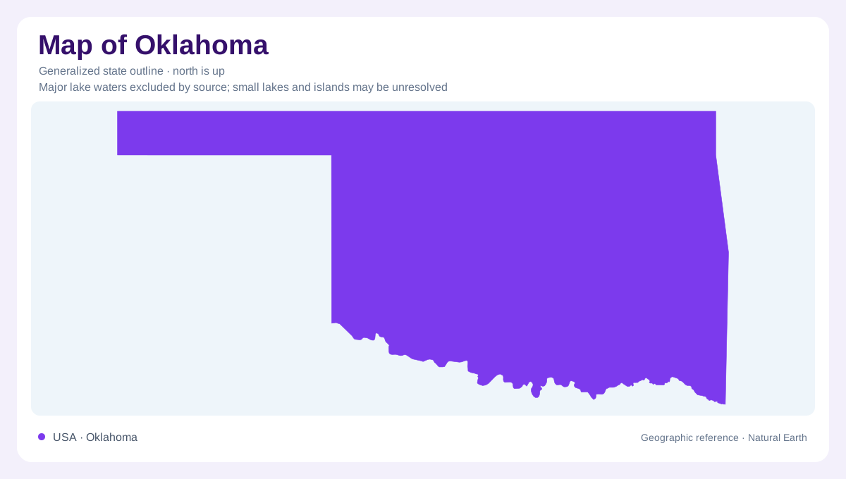
The Panhandle opens toward the High Plains
Oklahoma's narrow western Panhandle extends the state into the High Plains, while the broader body reaches toward much wetter eastern country. This outline captures a regional transition, although the precipitation boundary is gradual rather than a straight line. The High Plains are elevated and relatively little dissected compared with eroded mountain terrain. Level ground here should not be confused with low altitude. Across Oklahoma, location along the west to east span helps explain changing water availability, but local geology introduces contrasts. Plains, river valleys, and resistant rocky uplands all contribute to a landscape more varied than its silhouette suggests.
A strong rainfall gradient
Southeastern Oklahoma receives more precipitation than the western part of the state. The difference places Oklahoma across a transition from humid conditions to a semiarid environment. Because the state lies far from the moderating influence of oceans, its temperatures also vary widely through the year. Rainfall and runoff must be distinguished: water reaching the ground can evaporate, support vegetation, infiltrate soil, or move toward a stream. The drier western districts generally contribute much less runoff than wetter southeastern districts. This helps explain why an equally sized drainage basin can behave differently depending on where it lies within the state.
Granite uplands and eastern limestone
The Wichita Mountains rise above the Oklahoma plains as resistant granite uplands. Their rocky ground helped preserve patches of mixed grass prairie from cultivation, linking geology with the surviving landscape. These mountains offer a different story from the Ozark region in northeastern Oklahoma, where limestone and dolomite include cavities and fractures that transmit groundwater. South central Oklahoma adds the Arbuckle-Simpson aquifer, developed in limestone, dolomite, and sandstone. Treating these landscapes as interchangeable would hide their different geological foundations. Rock type affects weathering, underground water movement, and the relationship between exposed slopes and the valleys or plains around them.
Rivers gather water into corridors
The Arkansas, Canadian, and Red rivers are major elements of Oklahoma's drainage geography. Their valleys gather water and sediment from extensive catchments, while impoundments change the distribution and timing of stored surface water. River corridors also contain alluvium: material deposited by moving water rather than formed as solid bedrock in place. Sand and gravel within these deposits can carry groundwater beside the visible channel. Older terraces preserve sediment from earlier river positions or levels. A drainage map and a geological map therefore answer different questions: one follows the present river network, while the other helps explain what lies beneath and beside it.
The Panhandle's water extends underground
Beneath much of the Panhandle lies the High Plains aquifer, part of a system continuing into several neighboring states. Much of its material belongs to the Ogallala Formation, deposited by ancient streams carrying mixed gravel, sand, silt, and clay. Later uplift and erosion left a surviving elevated plain, locally protected by resistant carbonate cemented layers. Shallow depressions called playas interrupt parts of the High Plains surface and collect water after precipitation. This combination of broad surface, scattered depressions, and buried sediment makes the western landscape distinctive. The state boundary limits Oklahoma administratively, but neither its aquifer nor its rainfall gradient stops there.