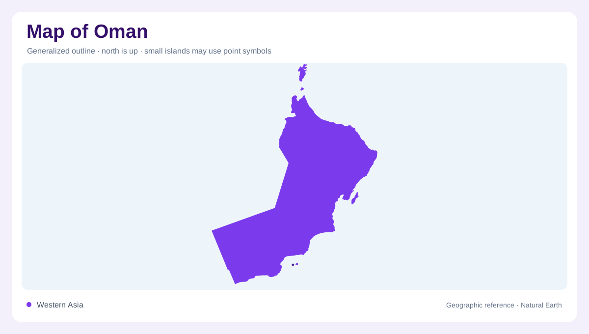
A southeast Arabian outline
Oman occupies the southeastern corner of the Arabian Peninsula. The FAO country profile places the United Arab Emirates to the northwest, Saudi Arabia to the west, and Yemen to the southwest. Musandam is a detached part of Oman at the tip of the peninsula beside the Strait of Hormuz, separated from the main territory by the United Arab Emirates. Oman’s coast runs from the strait southward to the Yemeni border, facing the Persian Gulf, Gulf of Oman, and Arabian Sea. This separated outline is the first feature to establish on a regional map.
Coastal plains and mountain ranges
The northern Batinah Plain and the southern Salalah Plain are Oman’s most prominent coastal lowlands in the FAO description. Between them, a mountain range extends from Musandam toward Ras Al-Hadd. Jebel Al Akhdar rises near the Batinah side to about 3,000 metres, while the Dhofar Mountains in the south reach roughly 1,000 to 2,500 metres. These ranges do not form one uniform wall. They create separate coastal settings, valleys, escarpments, and springs. Relief shading helps distinguish the narrow plains from the broad interior that lies behind them. Coastal plains also differ internally: Batinah is a northern agricultural belt, Salalah is a southern monsoon plain, and the Musandam shore is a detached rocky gateway at the strait. These zones should remain separate on a map because their rainfall, relief, and water systems differ sharply across the country.
Interior deserts and episodic water
The internal regions cover most of Oman and are dominated by desert, sand, and gravel plains below about 500 metres. They include part of Rub’ al Khali, the Empty Quarter, which spreads beyond Oman’s borders. Rainfall is scarce and uneven: the FAO profile gives a long-term national average of about 62 millimetres, with less than 10 millimetres in the central Empty Quarter and higher totals in mountain areas. Wadis may run only for hours or days after storms, so a blue line on a map does not necessarily represent permanent surface water.
Dhofar and the southern contrast
Dhofar changes the southern reading of Oman. The Salalah Plain lies below the Dhofar Mountains, where a seasonal summer monsoon occurs from June to September. The FAO profile notes that springs in the Dhofar Mountains feed wadis crossing the plain, creating a greener water-linked landscape than the arid interior. Northern and central rainfall arrives mainly in winter, while the southern monsoon follows a different seasonal rhythm. On a climate map, Dhofar should therefore remain a distinct southern zone rather than being colored as an undifferentiated extension of the Empty Quarter.
Reading Oman at multiple scales
A useful map of Oman combines four views. A regional sheet places Musandam beside the Strait of Hormuz and shows the country’s long maritime exposure. A relief map follows the Hajar chain, Dhofar uplands, and interior plains. A hydrological layer traces wadis, springs, aquifers, and recharge areas rather than assuming every channel is perennial. A settlement layer separates Muscat and the Batinah coast from Salalah, inland oases, and smaller coastal communities. Together these scales explain Oman’s geography: a long coast, detached peninsula, mountain arc, desert interior, and monsoon-influenced south.