The Cascades divide the weather
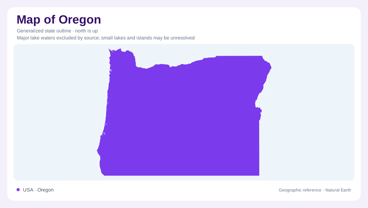
Oregon's strongest geographic contrast is the change across the Cascade Mountains. Pacific air brings moisture toward the state, and rising air loses much of that moisture on western mountain slopes. The country east of the Cascades is consequently much drier. Western temperatures are moderated by the ocean, while the interior experiences a greater range between seasons and between day and night. This division is more useful than imagining Oregon as uniformly rainy or uniformly forested. The outline provides the state's extent, but the mountain barrier explains why neighboring regions can have sharply different vegetation, water supplies, and seasonal rhythms.
The Columbia supplies a northern axis
The lower Columbia River forms much of Oregon's northern boundary with Washington and connects a large inland drainage system to the Pacific. Tributaries gather water from mountain and plateau country across a region far wider than Oregon alone. River valleys and adjoining terraces create comparatively level ground within otherwise varied terrain. They also provide places where sediment accumulates and water can be diverted or stored. The Columbia therefore serves as both a boundary reference and a connection across that boundary. Its importance is easier to understand at basin scale, where upstream catchments explain water arriving at Oregon's northern edge.
The Willamette lowland and its buried layers
The Willamette Valley extends southward from the Columbia into western Oregon, forming part of a longer structural trough that continues through Washington. Portland and Salem lie within this broader lowland setting. Beneath the surface, sand and gravel deposits coexist with basalt, creating several different routes for groundwater. The unconsolidated fill is thick around Portland and generally becomes thinner toward Salem and farther south. A broad valley floor thus need not mean a uniform foundation. These buried differences help explain why surface geography and subsurface geology should be considered together when interpreting the state's most prominent western river valley.
Volcanic plateaus and enclosed basins
Eastern Oregon adds volcanic and basin landscapes to the statewide picture. In the northeast, extensive basalt flows form part of the Columbia Plateau system. Water can move through permeable zones near the tops and bottoms of successive lava flows, linking the region's volcanic history with its groundwater. Farther southeast, some streams terminate in closed basins rather than reaching the Pacific. Faulting has helped produce alternating raised blocks and sediment filled depressions in Basin and Range country. These enclosed drainage settings differ fundamentally from the Columbia network: water collects internally, and evaporation becomes especially important in the relatively dry interior environment.
Winter storage supports summer flow
Oregon's water geography changes through the year. Much of the state receives its principal precipitation during the cooler months, while snow at higher Cascade elevations stores water until melting begins. Mountain runoff therefore connects winter conditions with supplies during the drier season. Reservoirs modify that timing further by retaining water and releasing it later. In the interior, much precipitation returns to the atmosphere or replenishes soil moisture, leaving less for streams and groundwater than in wetter western districts. The resulting pattern combines a mountain divide, seasonal storage, volcanic aquifers, and enclosed basins. None of these can be reduced to a single statewide rainfall figure.