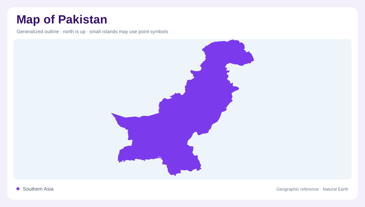
A country between mountains and sea
Pakistan is a long north–south geographic bridge between the highlands of inner Asia and the Arabian Sea. Its eastern frontier meets India, while Afghanistan and Iran lie to the west and China borders the high north. The country’s outline narrows toward the southern coast, where the Indus reaches the sea through a delta. Northern boundary zones include high mountains and areas whose political depiction can vary between maps; physical relief remains the safer first reference. At national scale, place the Indus corridor in the center, then read the western plateaus, eastern plains, and northern ranges as distinct adjoining regions.
The high northern rim
The north contains the meeting zone of the Himalaya, Karakoram, and Hindu Kush, producing some of Pakistan’s most dramatic relief. Gilgit, Skardu, and Chitral sit in separate mountain valleys rather than on one continuous upland floor. The Indus cuts westward and then southward through this rugged country, while tributary valleys point toward passes and high glaciers. On a physical map, steep contour spacing explains why nearby places can be separated by ridges, gorges, and difficult watershed crossings. Peaks such as K2 are useful orientation marks, but the interlocking valleys are the stronger clue to northern settlement patterns.
The Indus plain and its tributaries
South of the mountain front, the Indus plain spreads through Punjab and Sindh as the country’s principal lowland corridor. The Jhelum, Chenab, Ravi, and Sutlej join the wider Indus drainage, so a river map shows a branching network of northeastern tributaries feeding a southbound trunk. Lahore lies near the upper plain, while Multan and Sukkur mark different positions along the inland route. Irrigated fields can make the plain look uniformly green on imagery, yet the map should distinguish cultivated channels from natural river courses, flood basins, and dry margins that become more pronounced toward Sindh.
Plateaus, deserts, and the southern shore
West of the Indus lowlands, Balochistan occupies a broad region of plateaus, folded ranges, interior basins, and arid valleys. Quetta sits in a high basin, contrasting with the lower Makran coast along the Arabian Sea. Farther east, the Thar and Cholistan deserts border the irrigated plain with dunes and seasonally variable surfaces. Karachi anchors the southern urban coast, while the Indus delta creates a shifting wetland edge east of the city. Because these landscapes are dry, map readers should use relief and drainage together; a blank-looking area may be a plateau, desert, or sparsely mapped coastal wetland.
Reading the settlement framework
Pakistan’s major settlement pattern follows water, valley floors, and fertile lowlands rather than the national outline alone. Islamabad and Rawalpindi sit near the Potohar Plateau and the northern edge of the Punjab plain; Peshawar occupies a separate basin west of the Indus; Hyderabad and Karachi belong to the lower Indus and coastal system. Use these places as anchors, then compare them with the mountain towns and western provincial centers. A useful map keeps elevation shading, perennial rivers, irrigated districts, and administrative boundaries visible at once. Their overlap explains why Pakistan cannot be understood as either only a mountain country or only an alluvial one. The Panjnad enters the Indus from the east.