Western Micronesia's island chain
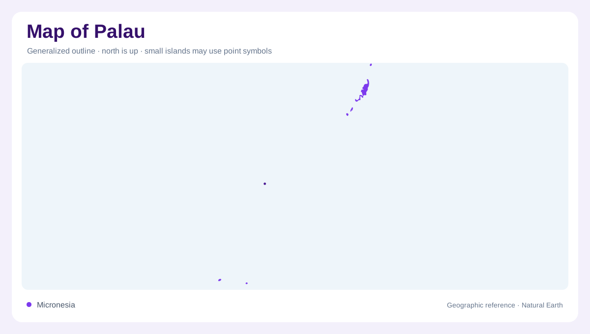
Palau lies in the western Pacific, east of the Philippines and north of New Guinea. Its islands occupy the western part of Micronesia, but their arrangement matters more than a single regional marker. The principal cluster extends from Kayangel in the north through Babeldaob and Koror toward Peleliu and Angaur. Separate southwestern islands greatly enlarge the country's geographic reach. On a Pacific overview, these small land areas can almost disappear beneath their labels. A closer view should distinguish the central chain from those distant outliers, preserving the ocean between them as an essential part of the national geography.
Babeldaob and the Koror cluster
Babeldaob is Palau's largest island and is volcanic in origin. Ten states occupy its land, so administrative boundaries here divide one substantial island rather than separating ten different islands. Koror, to its south, comprises a group joined by bridges and causeways; the Japan-Palau Friendship Bridge connects it with Babeldaob. Koror is the former capital and the economic center identified by the national government. Its compact urban geography contrasts with Babeldaob's broader interior. Keeping these two shapes distinct explains the main settlement region much better than treating every prominent place name as an isolated dot in the same lagoon.
Limestone shapes in sheltered water
South of Koror, the Rock Islands create a very different outline from Babeldaob. Numerous small limestone islets stand within lagoon waters, their wooded tops and narrowed bases producing distinctive profiles. Reefs shelter parts of this marine landscape from the open ocean. The Ngerukuid Islands Nature Reserve occupies a cluster of islands and winding channels within this wider setting. On a chart, the separate outlines of dry land, reef, and lagoon convey different information. Coloring the entire reef enclosure as land would erase precisely the interwoven geography that makes this part of Palau so recognizable from above. The intervening channels keep even nearby islets physically distinct.
Northern atoll and southern neighbors
Kayangel introduces coral atoll geography at the northern end of the principal island group. Its low islands and lagoon differ from the large volcanic landmass immediately farther south. Peleliu and Angaur, beyond Koror to the south, provide two additional island reference points. These places belong to the main archipelago's north to south sequence, but they are not extensions of Koror's urban fabric. Comparing their shorelines with Babeldaob reveals how much physical variety exists within the core group alone. A map that retains reef boundaries as well as coastlines helps separate island size from the much larger surrounding shallow marine platform.
The distant southwestern islands
Sonsorol and Hatohobei form Palau's Southwest Islands, separated from Koror by hundreds of kilometres. Sonsorol State includes Sonsorol, also called Dongosaro, together with Fanna, Pulo Anna, and Merir. These four islands should not be collapsed into one landform merely because they share a state name. The visitors authority places the state roughly 300 kilometres southwest of Koror and describes wooded interiors, sandy shores, and surrounding fishing grounds. An inset is often necessary to show this outlying geography legibly. Its proximity on the printed page must not conceal the real ocean distance separating these communities from the main island cluster.