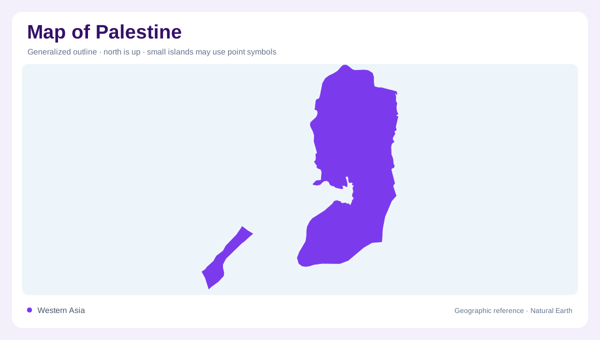
Two geographically separate components
Palestine is represented geographically by two separated areas: the West Bank, an inland territory west of the Jordan Valley, and the Gaza Strip, a narrow coastal strip on the Mediterranean. They are not one continuous landmass, so a national map normally needs an inset or two panels. This account includes East Jerusalem within the West Bank's geographically varied hill and valley landscape; Gaza has a long, low shoreline and a much more compact shape. Political status, control, and boundary depictions are contested or variable, so this article treats physical geography separately from claims about sovereignty or final borders.
The central West Bank hills
The West Bank rises through a north–south belt of limestone hills, with Nablus, Ramallah, Bethlehem, and Hebron occupying different parts of that upland arc. Ridges and intervening valleys make the terrain more intricate than a single shaded block suggests. Wadis drain away from the watershed toward both the Mediterranean side and the Jordan depression. Nablus is associated with a valley between hills, while Jerusalem and Bethlehem sit on elevated ground farther south. On detailed mapping, contour lines, escarpments, and valley mouths explain the spacing of roads and settlements more effectively than administrative colors alone.
The Jordan Valley and Dead Sea
Eastern West Bank geography changes abruptly as the highland edge descends into the Jordan Valley. Jericho occupies the lower, warmer depression west of the Jordan River and north of the Dead Sea. The Dead Sea shoreline is a powerful elevation reference, while the surrounding valley floor appears broad and comparatively level beside the limestone escarpments. A relief map should show both the drop from hill country and the narrow connection between northern valley landscapes and the sea basin. Dry climate, alluvial fans, and saline ground create a visual contrast with the cultivated terraces and greener upland pockets farther west.
Gaza’s coastal plain
The Gaza Strip occupies a low, sandy coastal plain on the eastern side of the Mediterranean, with Egypt adjoining its southern end and Israel along its northern and eastern sides. Gaza City, Khan Yunis, and Rafah provide longstanding place references within this slender territory. Their names locate parts of the strip without describing present building conditions or population distribution. The shoreline and inland edge run comparatively close together, unlike the broad elevation changes across the West Bank. Coastal sands and the underlying aquifer are essential parts of this physical setting. A separate Gaza panel makes the narrow landform legible while preserving its geographic separation from the inland hills and the Jordan Valley farther east.
Limestone, springs and groundwater
Water also distinguishes the two areas beneath their visible surfaces. Rain enters the West Bank's porous limestone and can emerge in springs along valleys and highland margins. This connects upland rainfall with water found lower on the slopes. Gaza's coastal aquifer occupies a different setting beside the Mediterranean, where freshwater and saline water interact underground. FAO describes seawater intrusion as a consequence of excessive groundwater withdrawal. These hydrological relationships explain why surface rivers alone give an incomplete picture. The limestone watershed, spring locations, and coastal groundwater body each add a different dimension to Palestine's geography.