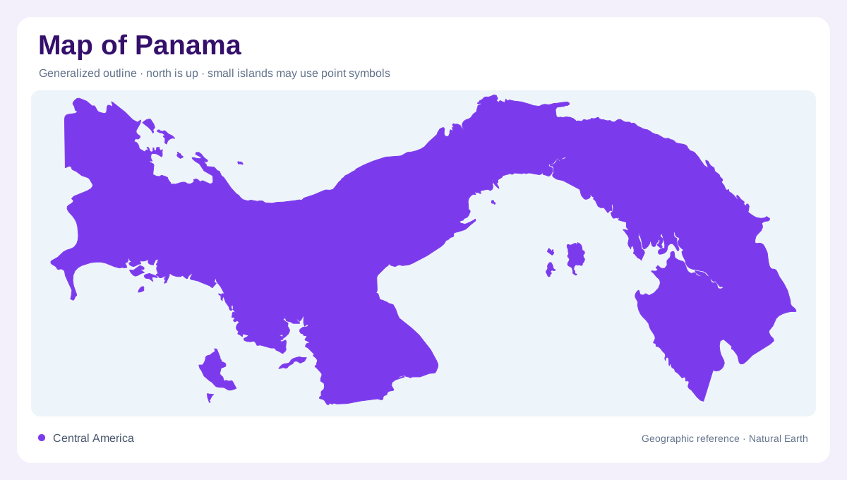
The curve of the isthmus
Panama forms the narrow connection between Central and South America, but its curved outline resists the simple image of a straight bridge. Much of the country stretches broadly east to west. The Caribbean faces one side and the Pacific the other, with bends, gulfs, and projecting peninsulas complicating their relationship. A regional map makes this shape easier to understand than a close view centered only on the canal. Costa Rica lies at the western end and Colombia toward the southeast. Panama's position explains its continental role, while the detailed coastline reveals how varied the narrow land connection actually is.
A canal within a watershed
The Panama Canal connects the Pacific and Caribbean sides, giving central Panama an unusually strong geographic focus. Panama City lies near the Pacific entrance, while Colon anchors the Caribbean side. Miraflores and Agua Clara mark distinct lock complexes on opposite sides of the crossing. Between the coasts, Gatun Lake introduces a broad inland water surface with numerous islands within the canal system. Chagres, Soberania, and Camino de Cruces national parks occupy parts of the surrounding basin. These forested areas help explain why the crossing is a watershed landscape as well as an engineered channel linking two ocean margins.
Chiriqui's elevated west
Western Panama contains the highland destinations of Boquete and Tierras Altas in Chiriqui. Volcan Baru and La Amistad National Park introduce mountain geography that contrasts with the country's coastal image. Coffee farms associated with these districts reflect a cultivated upland landscape rather than a continuous low coastal plain. On relief mapping, western elevation is one of the strongest organizing features. Following it toward lower ground connects mountain country with the Gulf of Chiriqui. This relationship between inland heights and Pacific shore helps explain why one province can contain markedly different geographic settings within a comparatively compact national outline.
Contrasting island coasts
Bocas del Toro belongs to the Caribbean geography of Panama, with Colon, Carenero, and Bastimentos among its named islands. Farther along that coast, Portobelo and Gunayala provide different coastal reference points. The Pacific has its own island pattern, including Taboga, the Pearl Islands, and Coiba, scattered across different stretches of the southern maritime margin. These groups should not be merged into an undifferentiated fringe of tropical islands. Their positions relative to bays, mainland districts, and opposite seas are central to understanding them. A map showing both coasts makes the separation clear, while detailed panels reveal individual channels and shorelines too small to read at national scale.
Peninsulas and the eastern forests
Pedasi and Los Santos draw attention to the Azuero Peninsula, which projects into Panama's Pacific margin. Veraguas extends the coastal picture westward, while Darien anchors the far eastern forest geography beside Colombia. The Tuira and Chucunaque rivers wind through this region, adding lowland corridors to a landscape that also contains mountain forests and mangroves. Cerro Pirre provides a named highland reference within Darien National Park. This eastern terrain complicates any picture of Panama as uniformly narrow and low. Its combination of rivers, wooded slopes, and coastal wetlands differs substantially from the canal's engineered waterway and the cultivated western uplands.