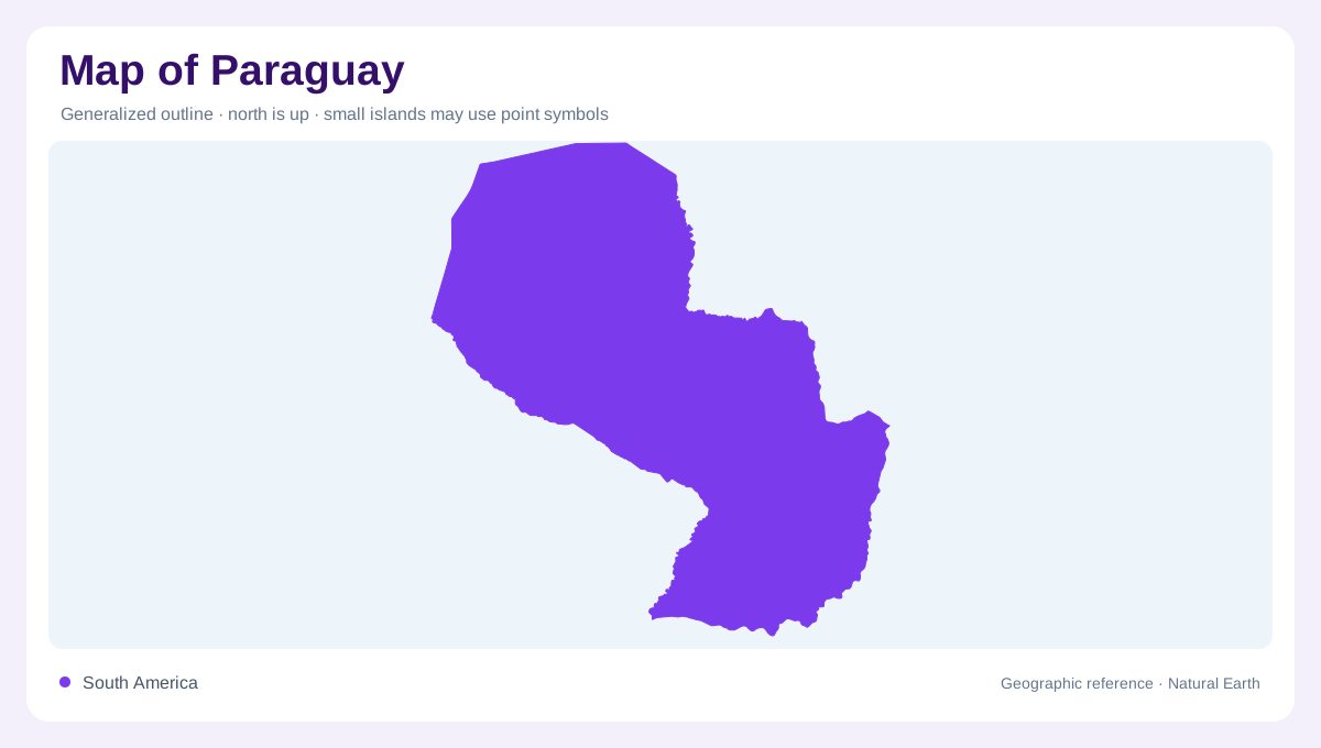
A landlocked country of two broad halves
Paraguay occupies the interior of South America between Bolivia, Brazil, and Argentina. It has no ocean coast, so rivers supply the main geographic lines of orientation and connection. The Paraguay River runs roughly north to south and divides the country into an eastern region of hills, forests, and cultivated land and a western region within the Gran Chaco. This division is not a perfect straight line: wetlands, river terraces, and transition zones interrupt it. On a national map, identify the Paraguay River first, then compare the denser eastern drainage pattern with the wide, flatter spaces west of the channel.
The Paraguay River corridor
The Paraguay River is the country’s central organizing feature, flowing past Asunción before continuing toward its junction with the Paraná system. Its floodplain, banks, tributary mouths, and seasonal wetlands create a corridor wider than the blue line printed on a small map. Concepción marks a northern river reference, while Asunción occupies the eastern bank in the south-central section. The Pilcomayo approaches from the west and helps define the southern Chaco edge. A hydrographic map therefore explains Paraguay’s shape more clearly than a border-only outline, especially where wetland channels and international rivers overlap.
Eastern hills between two rivers
The Oriental region lies between the Paraguay and Paraná rivers, with gently rolling ground and several distinct upland belts. Amambay and Mbaracayú form natural boundary features toward Brazil. Farther inland, the Caaguazú range separates waters flowing east toward the Paraná from those draining west toward the Paraguay. The Cordillera de los Altos adds another relief reference nearer Asunción. Ciudad del Este stands on the Paraná downstream from the Itaipu dam, while Encarnación occupies a broad southern river setting. These places reveal an eastern region structured by watersheds, uplands, and international river margins.
Seasonal water across the Chaco
The Gran Chaco occupies western Paraguay, where ground generally rises as it extends away from the Paraguay River. Its broad plains are interrupted by isolated higher features, including Cerro León, so the region is not an absolutely level surface. Rainfall diminishes toward the northwestern Chaco compared with the wetter eastern country. Seasonal downpours can reactivate old, otherwise dry channels and fill shallow depressions that appear dry at other times. Filadelfia provides an interior settlement reference within this extensive landscape. Along the southern margin, the Pilcomayo adds another major drainage system approaching from the west. Forest, scrub, grassland, and temporary water therefore form a changing surface pattern across the Chaco, even though its overall low relief remains a persistent geographic characteristic.
A river-based way to read settlements
Paraguay’s settlement geography becomes clearer when towns are placed against water and relief. Asunción faces the river corridor, Ciudad del Este looks toward the Paraná border landscape, and Encarnación occupies a southern river setting. Smaller eastern centers are generally more closely spaced than Chaco communities, reflecting the contrast between cultivated uplands and extensive dry forests. Use elevation shading to find the Cordillera de los Altos, then trace the Paraguay, Pilcomayo, and Paraná to understand transport and drainage directions. A good map leaves inland Paraguay visibly landlocked while showing how its rivers open the country toward neighboring basins.