A rectangle crossing several landforms
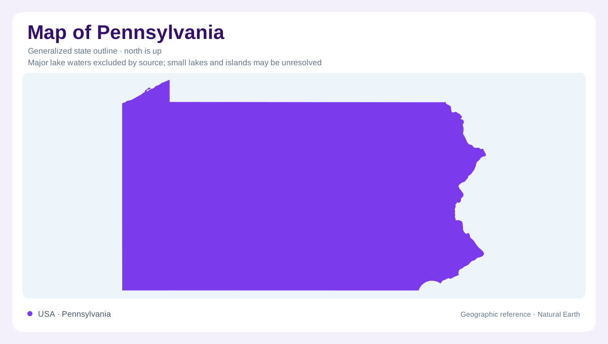
Pennsylvania's broadly rectangular outline spans a less regular arrangement of uplands, valleys, and water margins. Lake Erie touches its northwestern corner, while the Delaware River and estuary define a different eastern setting. Between them, Appalachian terrain occupies much of the state. The Pennsylvania Geological Survey recognizes six physiographic provinces, but three dominate its area: Appalachian Plateaus, Ridge and Valley, and Piedmont. The remaining provinces add smaller yet distinctive landscapes. This division explains why a journey across Pennsylvania cannot be understood simply as crossing one mountain range. Similar looking wooded slopes may rest on differently arranged rocks and have contrasting origins.
Ridges repeat because rocks repeat
In the Ridge and Valley province, long ridges alternate with lower corridors because folded sedimentary beds resist erosion unequally. Tough sandstone and conglomerate tend to remain high, while less resistant material is more readily worn down. The pattern reflects rock structure rather than a random collection of hills. It also explains why an apparent short crossing on a state outline can involve repeated changes in elevation. Rivers sometimes cut across the grain, while other channels occupy easier routes through valleys. To interpret central Pennsylvania, the alignment of ridges is therefore as important as their height or distance from a city.
A plateau divided by streams
The Appalachian Plateaus differ from the folded belt because their layered rocks are generally horizontal or only gently tilted and warped. Deep erosion can nevertheless produce steep valley walls and a strongly dissected surface. The Allegheny Front marks a prominent transition along the southeastern edge of this plateau country. Farther north, glacial activity modified parts of the state, adding sediment and smoothing or filling some older landforms. These processes explain a seeming contradiction: plateau country can look mountainous at ground level. The broad geological structure describes the original framework, while local relief records the later work of water and ice.
Water leaves by several routes
Pennsylvania does not belong to a single drainage basin. The Delaware and Susquehanna carry water toward Atlantic coastal waters, whereas the Ohio system leads toward the Mississippi and Gulf of Mexico. Smaller northern areas drain toward the Great Lakes. These connections extend far beyond the state boundary and make watershed divides important internal features. Two streams close together may ultimately reach different coastal regions. River geography also helps distinguish major urban settings: Philadelphia belongs to the Delaware corridor, while Pittsburgh is associated with the Ohio system. Their shared state identity conceals different downstream connections across the wider eastern United States.
Two water margins and a southeastern lowland
The Lake Erie margin has a climate influenced by a large freshwater lake, including the possibility of substantial lake effect snowfall. Southeastern Pennsylvania instead approaches the tidal Delaware and the Atlantic climatic influence. Between higher inland terrain and this estuarine edge, the Piedmont and narrow Coastal Plain provide another sequence of landforms. The Piedmont contains varied uplands, while Coastal Plain sediments create a lower setting. Pennsylvania therefore has meaningful coastal geography without a broad open ocean frontage. Keeping the Great Lakes shore, folded interior, dissected plateau, and Delaware lowland distinct makes its outline a more useful frame for regional understanding.