Three regions across western South America
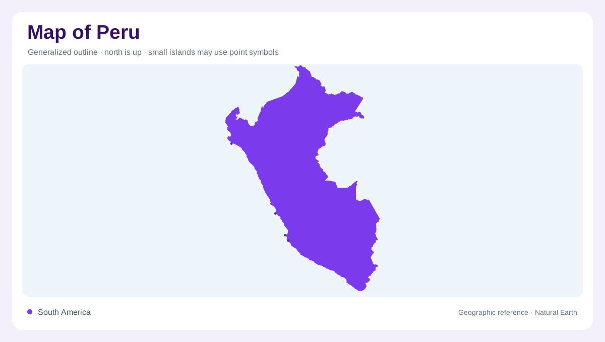
Peru occupies the western side of South America, facing the Pacific and bordering Ecuador, Colombia, Brazil, Bolivia, and Chile. The official tourism description divides its territory into Coast, Highlands, and Jungle, a simple framework that remains useful when reading a national map. These are not three equal strips: the Coast is narrow and arid, the Andes form a long high barrier, and the Jungle extends across much of the eastern lowland. Start with the ocean-facing edge, then follow relief eastward; that sequence explains why nearby points can belong to entirely different climate and drainage worlds.
The desert coast and river valleys
Peru’s Pacific coast is predominantly desert, but its river valleys cut green corridors through the dry plain. Lima sits near the central coast, while Trujillo and Chiclayo anchor northern coastal landscapes and Arequipa lies beside a more mountainous southern setting. Rivers descending from the Andes support settlements and agriculture before reaching the ocean, so valleys appear as narrow linear systems rather than broad wet lowlands. Coastal maps should show headlands, bays, river mouths, and desert expanses together. A blank tan area is not empty geography; it is part of the strong coast-to-mountain contrast.
High basins and contrasting slopes
The Andes cross Peru through parallel ranges, high plateaus, and deeply cut valleys. Huaraz lies near the Cordillera Blanca, with Huascarán providing a prominent summit reference, while Puno occupies the high basin around Lake Titicaca. Cusco belongs to another part of the elevated interior. These towns should not be placed on one imagined flat highland surface. Altitude changes sharply between valley floors and neighboring ridges, influencing temperature and cultivation. FAO's regional account distinguishes the mountainous Sierra from both the western coastal plain and the eastern forest zone. The eastern Andean slopes descend toward humid forest, while western drainage reaches arid Pacific valleys. This creates an intricate transition across the mountain system, where elevation and exposure alter landscapes over short distances.
Amazonian rivers and forest lowlands
East of the Andes, Peru opens into the Amazon basin, where forested lowlands and large rivers replace the sharp relief of the cordilleras. The Marañón and Ucayali are major river references before their waters join the Amazon system. Iquitos, situated within the river landscape and distant from the country's Pacific coast, helps locate the northeastern lowlands; Puerto Maldonado provides a southeastern rainforest anchor. On a regional map, tributaries, oxbow lakes, floodplains, and protected forest occupy more space than urban symbols. The Jungle is therefore best read through waterways and basin scale, not through isolated town points.
Connecting coast, highland, and jungle
A useful map of Peru changes scale as it moves inland. At continental scale, the Pacific edge and five international borders establish location; at national scale, the Coast, Highlands, and Jungle explain the broad pattern; at local scale, valleys and passes connect specific settlements. Lima, Arequipa, Cusco, Puno, and Iquitos should be read as different geographic situations rather than interchangeable city labels. Relief shading, river direction, and elevation contours provide the thread linking them. This layered approach prevents Peru’s narrow coastal strip, immense mountain interior, and low eastern basin from being flattened into one generalized landscape.