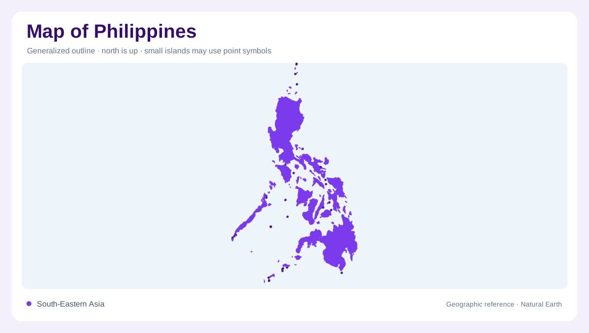
An archipelago of three major groupings
The Philippines is a long western Pacific archipelago whose geography cannot be reduced to one continuous outline. Luzon, the Visayas, and Mindanao form the principal island groupings, while Palawan, Batanes, and the Sulu islands extend the national pattern into separate sea spaces. The Department of Tourism organizes its official destination map by Luzon, Visayas, Mindanao, and regional or provincial layers, a useful hierarchy for reading detail. Begin with the major islands and surrounding seas, then add smaller islands, straits, and coastal shelves. Distance across water is as important as distance across land.
Luzon’s plains and mountain arcs
Luzon combines the Central Luzon plain, the Cordillera in the north, the Sierra Madre along the eastern side, and volcanic terrain toward Bicol. Manila occupies the western side of the island near Manila Bay, while Baguio sits high in the Cordillera and Tuguegarao lies within Cagayan Valley. The eastern Pacific-facing coast is broken by headlands and mountain foothills rather than a simple straight edge. Farther south, Mayon and the Bicol Peninsula add volcanic relief. On a physical map, Luzon reads as several connected basins and ranges surrounding a broad agricultural lowland.
The island maze of the Visayas
The Visayas are a central cluster of islands separated by narrow seas, channels, and straits. Panay, Negros, Cebu, Bohol, Samar, and Leyte provide major reference shapes, while smaller islands fill the spaces between them. Cebu’s long north–south form and the paired Samar–Leyte arrangement are especially useful for orientation. Iloilo and Cebu City sit on different sides of the central island network, showing how a short map distance can still include open water and separate coastlines. Relief varies from low coastal plains to interior hills and volcanic peaks, so island color alone cannot explain the geography.
Mindanao’s southern and eastern breadth
Mindanao forms the southern anchor of the main archipelago. Its west includes the Zamboanga Peninsula, its center contains highlands and Lake Lanao, and its eastern side opens toward the Pacific through the Caraga and Davao regions. Davao City lies beside Davao Gulf, while the broad shape of the island contains river valleys, forested slopes, volcanic ground, and coastal plains. Mount Apo is a useful summit reference in the interior, not a substitute for the island’s varied relief. Offshore islands and the Sulu chain complicate the southern view and require a separate regional scale.
Seas around the island groups
The Philippine Sea borders the eastern archipelago, while the South China Sea lies to its west. The Bashi Channel marks the northern approach toward Taiwan; the Sulu and Celebes seas help locate the southwestern and southern island margins. These named waters give the islands a framework beyond their administrative groupings. Palawan extends southwest beside the Sulu Sea, and the Sulu chain continues toward Borneo from the western side of Mindanao. Neither forms a continuous mainland connection. Across this maritime setting, a coast can face an enclosed island sea on one side and the much wider Pacific Ocean waters on another. Mapping those orientations clarifies why the same country contains long, often exposed eastern shores, sheltered straits between central islands, and distant southwestern outliers with very different surrounding water spaces.