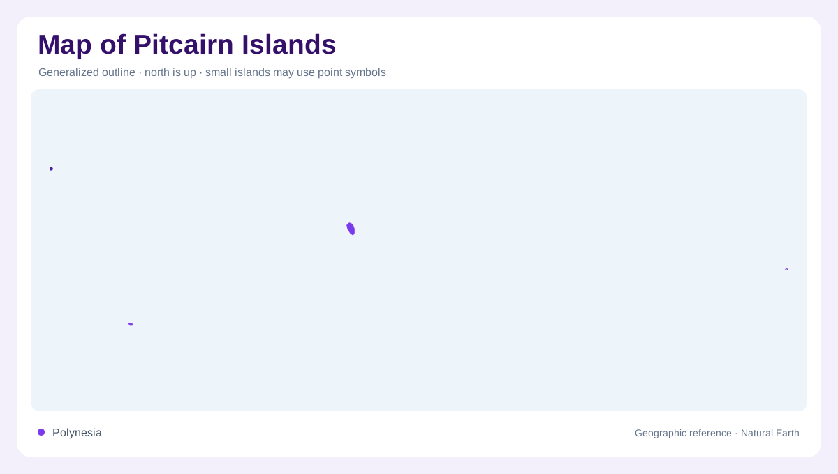
Four islands in the central South Pacific
The Pitcairn Islands group consists geographically of Pitcairn, Henderson, Ducie, and Oeno in the central South Pacific. These are separate islands spread through a large ocean setting, not one compact landmass. The official island description emphasizes their isolation and the differing forms of the outer islands. A regional chart should therefore show ocean distances and inset scales before enlarging any shoreline. The group’s small land area can be visually misleading when a map gives the four names equal prominence. Water, rather than political boundaries, is the dominant connective feature between the island outlines.
Pitcairn’s steep volcanic terrain
Pitcairn is the rugged volcanic island associated with the inhabited part of the group. Its irregular coast, steep slopes, ravines, and elevated interior produce a very different map texture from a low coral atoll. Adamstown is the settlement reference, but it should not be expanded into an imagined urban network. On a detailed topographic map, contours close around ridges and valleys, while coastal indentations reveal landing places and exposed shore. The island’s profile is best understood as a small volcanic mountain rising from deep ocean, with limited flat ground and a settlement concentrated on one section.
Henderson, the raised coral island
Henderson is much larger than Pitcairn and has a raised coral form rather than a volcanic cone. The official account describes it as a largely undisturbed raised coral island measuring about 37 square kilometres and rising to roughly 30 metres above sea level. Cliffs and uplifted limestone make its coast read as a firm rim around a comparatively level interior. It is uninhabited and ecologically distinctive, so map symbols should emphasize island shape, reef edge, and protected habitat instead of roads or towns. Its World Heritage recognition reflects the importance of preserving this unusual island environment.
Ducie and Oeno atoll geography
Ducie and Oeno are described officially as small, low atolls, placing them in a different geomorphic category from Pitcairn and Henderson. Oeno lies about 120 kilometres northwest of Pitcairn and includes a lagoon, shifting sandbar, and coral shoals around its low island surface. Ducie’s lagoon form similarly requires a chart reader to separate reef, shallow water, lagoon, and dry land. Neither island should be assigned invented settlements. At this scale, a map’s bathymetric information and reef outline may carry more geographic meaning than a sparse terrestrial label set.
Habitats shaped by isolation
The outer islands support habitats with little permanent human development, but their ecology differs with elevation and substrate. Henderson's raised coral limestone sustains endemic land birds, including a flightless rail, alongside nesting seabirds. Ducie has little soil, sparse vegetation, and no fresh water according to the official island account. Its low reef enclosure therefore offers a sharply different terrestrial environment from wooded Henderson. Oeno's sandbar changes shape, making the distinction between stable island ground and shifting shoreline material especially relevant. Across the group, introduced plants and animals can disrupt small, isolated ecosystems. The official tourism department identifies accidental introductions as a conservation concern for these outer islands. Their geography is consequently a mosaic of volcanic slopes, uplifted coral, low reef islands, and open ocean separating each habitat.