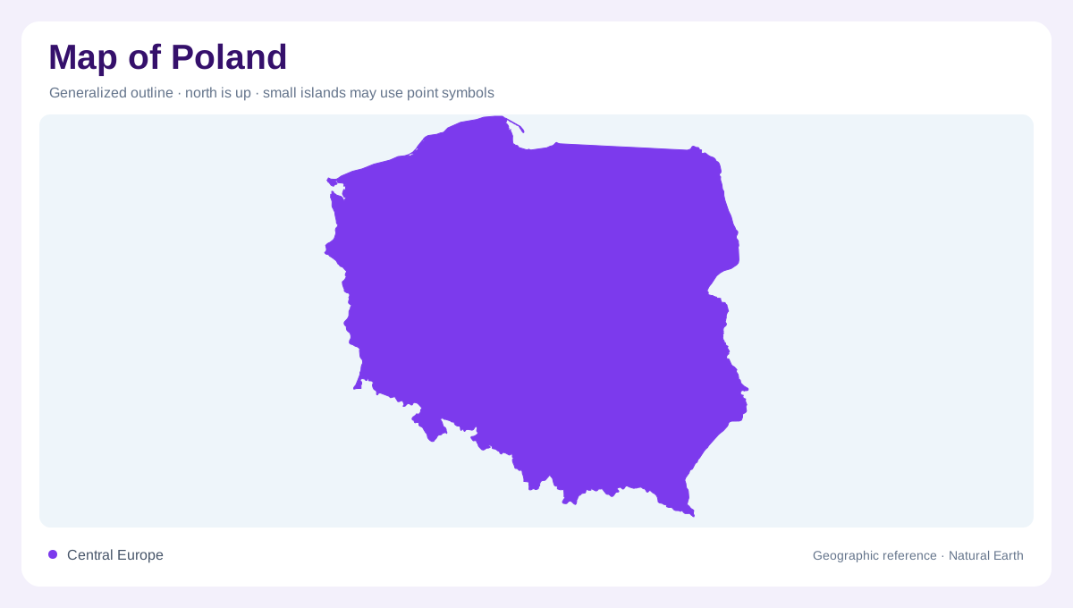
A broad Central European plain
Poland stretches across Central Europe from the Baltic Sea in the north to mountain borders in the south. Germany lies to the west, Czechia and Slovakia to the south, and Ukraine, Belarus, Lithuania, and the Russian Kaliningrad region occupy the northeastern borderlands. Much of the country is low and gently rolling, so its outline can appear simpler than its internal geography. Begin with the Baltic coast and then follow the land southward through lake districts, central plains, uplands, and mountain foothills. This north-to-south sequence is the clearest way to organize a national physical map.
The Baltic shore and northern lakes
Northern Poland combines a varied Baltic shoreline with glacially shaped lake districts. Gdańsk sits near the Gulf of Gdańsk and the Vistula delta, where low coastal land meets major river sediment. West Pomerania and the central coast include dunes, beaches, lagoons, and lowlands, while Masuria farther east is marked by numerous lakes and wooded moraine terrain. The coast should not be drawn as a single straight edge: spits, bays, and river mouths change its map pattern. A detailed northern view makes the relationship between inland lakes, coastal wetlands, and the Baltic much easier to see.
The Vistula, Oder, and central lowlands
The Vistula is Poland’s principal northward-flowing river, passing Warsaw before reaching the Baltic; the Oder flows northwest toward the Baltic and forms important border and lowland reference lines. Warsaw stands within the broad Mazovian plain, while Kraków marks the upper Vistula region and Wrocław belongs to the Oder basin. Between these rivers, agricultural plains, wetlands, and old glacial surfaces create a landscape of modest relief. River valleys can be wider than their printed channels suggest, so floodplains and tributaries deserve separate attention when a map is used to understand settlement or regional connections.
Uplands, Carpathians, and Sudetes
Poland’s southern edge rises through uplands and two contrasting mountain systems. The Sudetes occupy the southwest, while the Carpathians continue along the southern border, including the Tatra Mountains near Zakopane. Kraków lies north of the highest relief, close to the transition from upland terrain to the Vistula basin. Contours tighten dramatically around the Tatra, where valleys, ridges, and high passes replace the open horizons of the north. Industrial Upper Silesia adds an urbanized upland reference between the Oder lowlands and mountain foothills, showing that relief and settlement layers must be read together. Foothill basins can conceal steep changes in elevation, so a city’s apparent proximity to a summit does not imply a level route. Contour intervals reveal that difference more clearly than roads.
Using regions without losing landforms
Poland Travel presents the country through sixteen regions, a useful administrative and cultural index, but region names should supplement physical geography rather than replace it. Locate Warsaw on the central plain, Gdańsk at the Baltic edge, Wrocław on the Oder, and Kraków near the southern upland transition. Then compare lake symbols, river networks, and elevation shading across the same frame. National parks and UNESCO locations can serve as additional reference points, yet a map remains most informative when it preserves the underlying glacial north, riverine middle, and mountainous south as connected parts of one country.