A steep volcanic island
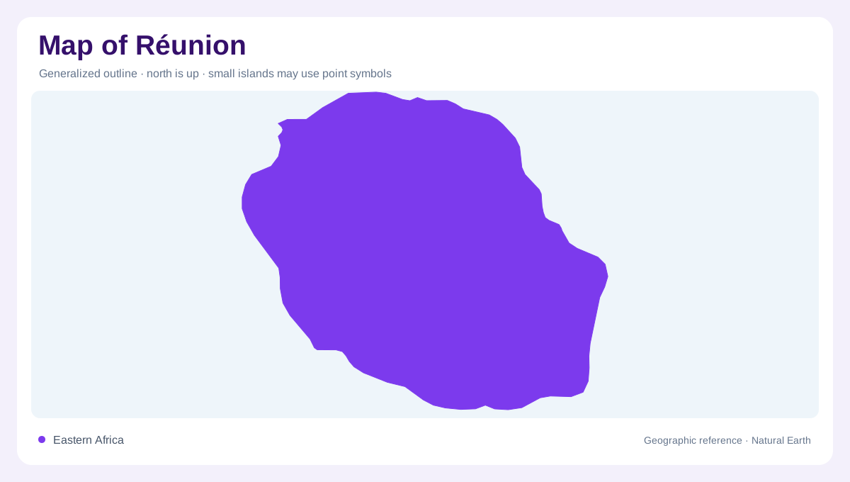
Réunion is a volcanic island in the southwestern Indian Ocean, compact in outline but sharply divided between a settled coastal ring and a mountainous interior. Saint-Denis anchors the north, Saint-Pierre the south, and Saint-Paul the drier western side. The main island's shape is not a simple circle: headlands, lava fans and deeply cut ravines interrupt the shoreline. A locator map places Réunion within the Mascarene region, while a local map must show the enormous relief rising close behind the towns. Read the island as one landmass with several contrasting coastal sectors, not as a flat resort strip surrounded by water.
Two massifs create the relief
Two volcanic massifs organize the interior. The Parc national de La Réunion identifies Piton des Neiges and Piton de la Fournaise as the formations that created the island. The older Piton des Neiges supplies central highland relief and the deeply eroded cirques, while the Fournaise massif builds younger lava landscapes toward the southeast. Smaller pitons and cones appear across the island as remnants of eruptions or tectonic collapse. On a relief map, peaks are therefore connected to age and process: rounded highland walls, sharp cones, broad lava fields and fresh-looking flows belong to different geological chapters of one volcanic structure.
Mafate, Cilaos and Salazie
Mafate, Cilaos and Salazie are enclosed mountain basins rather than ordinary valleys. Their steep remparts and broken basaltic walls record erosion and the collapse of the older volcanic edifice. Mafate is especially instructive because the Parc national describes a rugged interior organized around deep valleys, unstable slopes and the Rivière des Galets, its natural outlet toward the coast. Cilaos and Salazie open different pathways through the central highlands, with ridges separating their drainage. A map should not place these names as adjacent towns on a flat plain; they are distinct amphitheatre-like spaces linked by narrow passes, ravines and high divides.
Coasts, lava and microclimates
The coast shows strong environmental contrasts over short distances. Tourism material describes about 210 kilometres of shoreline, much of it cliffs and rocky beaches, with 35 kilometres of sandy beaches concentrated from the west to the south. Coral barriers create shallow lagoons around places such as Saint-Gilles, Saint-Leu and Grand Anse, whereas the windward east is wetter and more exposed. Lava from Piton de la Fournaise can reach the sea, extending the southern coast with black rock. From west to east, dry savanna, humid forest and volcanic plateaux reveal how relief and prevailing weather produce separate microclimates on one island.
The coastal settlement necklace
Most settlements form a coastal necklace, leaving the interior comparatively dominated by forest, ravines and protected highland landscapes. Saint-Paul and Le Port help orient the west, Saint-Denis the north, Saint-Pierre the south, and Saint-André the wetter northeast. Inland labels such as Cilaos, Salazie and Mafate should be read against contour lines, not treated as lowland suburbs. At national scale, distinguish the two volcanic massifs, the three cirques and the coastal sectors. At local scale, inspect lava flows, coral lagoons, ravine mouths and steep remparts. This geographic guide describes stable relationships, not eruption forecasts, road access, hiking permission or current conditions.