Land organized around a bay
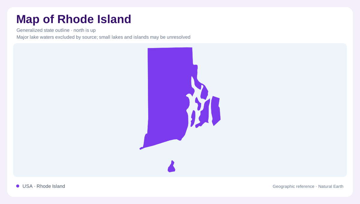
Rhode Island's name can obscure its geography: the state includes a substantial mainland as well as islands. Narragansett Bay is the central feature for understanding how that land is arranged. Its waters reach inland between shores and around separate islands, creating a coastline far more intricate than a simple southern edge. Providence and Newport provide useful northern and southern reference points around the bay system. Beyond this coastal setting, the western part of the state has a more inland character. A compact outline can establish the overall shape, but small coves, marsh edges, and channels require a much closer scale.
Three islands within the estuary
Prudence, Patience, and Hope islands anchor the Narragansett Bay National Estuarine Research Reserve. They sit near the geographic center of the bay, between Providence and Newport. The reserve protects parts of Prudence and encompasses island habitats that differ substantially even across short distances. Rocky shores and cobble beaches alternate with coastal marshes, while forests and grasslands occupy higher ground. Underwater environments include muddy bottoms and eelgrass beds. This mosaic matters when interpreting an island outline: land and water are not two uniform surfaces. Substrate, elevation, shelter, and tidal exposure separate habitats within a very small portion of Rhode Island.
Glacial cover over an older foundation
The mainland belongs to a New England landscape extensively modified by continental ice. Glaciers removed weathered material, reshaped older bedrock surfaces, and left deposits ranging from unsorted till to layered sand and gravel. Valleys could collect sediment while adjoining uplands retained thinner cover. Those differences affect both the shape of the land and the paths available to groundwater. Where crystalline rock dominates, water moves primarily through cracks rather than through open spaces between mineral grains. In coarse glacial deposits, connected pores provide another route. Rhode Island's inland geography therefore includes an underground contrast that cannot be inferred from coastline shape.
Block Island and the open coast
Block Island lies offshore in a more exposed marine setting than the sheltered interior of Narragansett Bay. Its geological context includes glacial deposits over older Coastal Plain sediments, placing it within a broader chain of coastal islands shaped by ice and sea. Separating Block Island from the bay islands prevents an easy geographic confusion: offshore position and location inside an estuary are different relationships. Ocean exposure also influences climate. The state climate summary describes substantially less accumulated snowfall on Block Island and southeastern bay shores than in western Rhode Island, illustrating how a short geographic distance can change winter conditions.
Reading the wetland boundary
Rhode Island's coast is best understood as a zone rather than a fixed line. Marshes, intertidal rock, submerged vegetation, and lowland streams connect marine and terrestrial environments around Narragansett Bay. The Hope Island component of the reserve supports nesting wading birds, illustrating the ecological importance of small land areas. Meanwhile, Atlantic influence moderates coastal temperatures but does not prevent continental air from reaching the state. These relationships make the bay's surrounding land and water inseparable for geographic interpretation. An outline is a starting reference; the meaningful local distinctions lie in elevation, substrate, tidal reach, and position within or beyond the estuary.