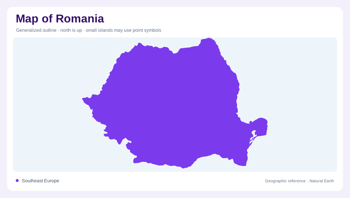
A country shaped by an arc
Romania sits at the meeting point of central, eastern and southeastern Europe, opening eastward to the Black Sea through the Danube Delta. The Carpathian arc is the country's organising feature, enclosing the Transylvanian Basin while lower plains spread south and east. Bucharest lies in the Wallachian lowlands; Cluj-Napoca and Brașov help orient the interior highlands, while Constanța marks the maritime edge. A national map is clearest when the mountain curve is located first, then the Danube's southern course and the delta's watery extension. This sequence prevents Romania from appearing as either only a Carpathian country or only a Danube country.
Carpathian groups and valleys
The Carpathians form a curved, varied belt rather than one uniform ridge. In the south, the Southern Carpathians include the Cozia massif and the Olt valley, where steep rock faces and forested slopes narrow the deep river corridor. The Eastern Carpathians continue the arc toward Moldavia, while the Western Carpathians frame the western side of the Transylvanian Basin. Between these groups, passes and depressions create routes across the mountain wall, but relief still separates neighbouring basins. The Ministry of Environment's Cozia description is a useful local model: massif, gorge, valley and forest must be read together, not as isolated symbols.
Rivers from uplands to the sea
Romania's rivers radiate from the highlands toward several margins. The Olt cuts south through the Carpathians before joining the Danube, while the Mureș crosses Transylvania and continues west toward the Tisza system. Farther east, the Siret and Prut drain Moldavian landscapes before reaching the Danube network. The Danube then bends along the southern edge, collecting tributaries and carrying sediment toward the Black Sea. River valleys often guide settlement through otherwise rugged country, yet a blue line does not imply a navigable route or constant width. Trace watersheds across contour lines to understand why adjacent counties can face different downstream directions.
The Danube Delta mosaic
At the delta, the Danube separates into the Chilia, Sulina and Sfântu Gheorghe arms, building a changing mosaic of interconnected channels, shallow lakes, reedbeds, low-lying marshes, forests and coastal sand ridges. The Romanian Government describes the Danube Delta Biosphere Reserve as a protected area whose management seeks to maintain its physical-geographical framework, ecosystems and biodiversity. That wording matters on a map: water and land interlock, and enclosed polders or managed edges may interrupt an otherwise natural pattern. The delta's eastern edge is not a single straight coast. It is an accreting, sediment-shaped transition where river branches meet the Black Sea.
Plains, cities and map scale
Romania's regional cities and cultivated plains occupy the many spaces between mountains, rivers and the coast. Bucharest anchors the south, Timișoara and Oradea orient the western plain, Iași the east, and Constanța the Black Sea shore. At broad scale, compare the Carpathian arc, Transylvanian interior, Moldavian plateau, Wallachian plain and Dobrogea. At closer scale, inspect Olt gorges, foothill basins, delta channels and coastal lakes separately. Administrative boundaries cross these distinct physical regions, so they should never replace relief or drainage in interpretation. This guide is a geographic reference, not a promise about roads, access, river levels or present-day land management.