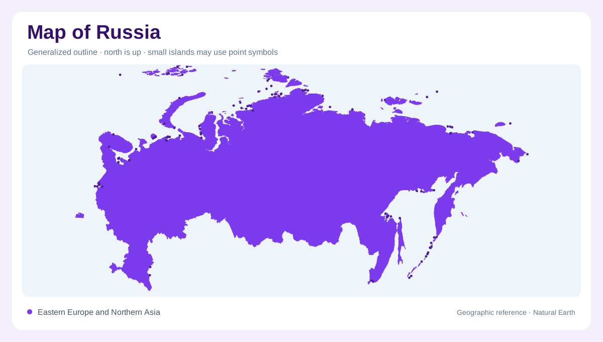
A country spanning two continents
Russia stretches across eastern Europe and northern Asia from the Baltic region to the Pacific, making its outline a continental map rather than a regional frame. The Russian Embassy's geographic summary places the Ural Mountains at the divide between a European plain and Siberia. Arctic shores, Pacific peninsulas, inland seas and islands extend that shape beyond the familiar mainland. Moscow anchors the western core; Vladivostok marks the far eastern maritime edge. A locator map must preserve the distance between them, while a regional map should separate Russia's European, Siberian, Arctic and Pacific settings instead of compressing them into one block.
European plain and Ural divide
West of the Urals, low relief dominates much of the European portion, although hills, river valleys and uplands break the plain. The Volga runs south toward the Caspian Sea, while the Don and Dnieper drainage connect the southwest to the Black Sea region. Farther north, the Baltic coast and Gulf of Finland open a separate maritime orientation. The Ural chain is not an impenetrable wall; it is a long, comparatively narrow mountain belt that helps organize watersheds and routes. On a physical map, distinguish the plain's agricultural and urban corridors from the sharper relief that begins farther east and south.
Siberian forests and northward rivers
Siberia occupies the space east of the Urals, extending from Kazakhstan and Mongolia toward the Arctic coast. Coniferous forest, swamps and northern tundra create broad environmental belts, while mountain systems rise along the south. The Ob, Yenisei and Lena carry enormous drainage networks northward, each crossing different plains, plateaux and tributary zones before entering Arctic seas. Lake Baikal sits within the southern Siberian mountain fringe as a conspicuous inland water feature, enclosed by mountains rather than coastal plains. Because distances are vast, a national overview can hide local relief; use basin maps and regional insets before comparing settlements or watersheds.
Caucasus, Kamchatka and island chains
The southern and eastern margins add another layer of relief. The Caucasus rises between the Black and Caspian seas, the Altai and Sayan ranges border southern Siberia, and volcanic Kamchatka projects into the North Pacific. Sakhalin is a long island off the Pacific coast, while the Kuril chain continues southward as a broken line of volcanic islands. The Russian Embassy's geographic information also identifies Arctic archipelagos such as Novaya Zemlya, Severnaya Zemlya and Franz Josef Land. Some offshore boundaries and island claims are disputed; a reference map should show that context neutrally rather than presenting every line as universally settled.
Settlement and the problem of scale
Settlement is concentrated in corridors that the outline can make appear deceptively continuous. Moscow and Saint Petersburg dominate the west, Novosibirsk and Omsk orient the Siberian plain, and Irkutsk relates to the Baikal region; Vladivostok faces the Pacific across a very different landscape. At continental scale, compare seas, mountain arcs, river basins and climatic belts. At local scale, inspect taiga edges, permafrost terrain, deltas, volcanic peninsulas and island spacing. Administrative regions do not replace physical geography, and a straight map distance does not imply a connected road. This guide describes stable landforms, not live transport, access, border conditions or weather.