A small country of strong relief
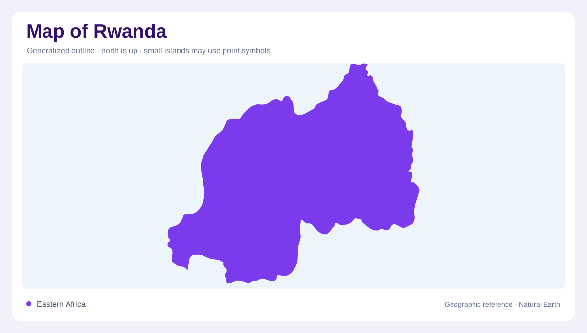
Rwanda is a compact, landlocked country in the Great Lakes region of central-eastern Africa, bordered by Uganda, Tanzania, Burundi and the Democratic Republic of the Congo. Its nickname as a land of hills is geographic shorthand, not a complete relief description. The country rises from lower eastern plains toward a mountainous west and northwest, with Kigali occupying a central highland position. A map works best when read from the Lake Kivu side across the ridges to Akagera's eastern wetlands. Short distances can cross several elevations, watersheds and climate zones, so the national outline should be paired with contours rather than treated as an even plateau.
The Virunga volcanic northwest
The northwest is dominated by Rwanda's Virunga volcanoes, a group of dormant peaks protected within Volcanoes National Park. Visit Rwanda identifies Karisimbi as the highest at 4,507 metres and names Bisoke, Sabinyo, Gahinga and Muhabura as the other principal peaks. Their steep slopes support a mosaic of montane ecosystems, including evergreen and bamboo forest, grassland, swamp and heath. On a map, the volcanoes form a borderland mountain cluster rather than isolated cones scattered across Rwanda. Musanze lies below the massif, while the volcanic high ground sends ridges and streams southward into the densely settled interior.
Lake Kivu and the western escarpment
Lake Kivu occupies Rwanda's western edge within the Great Rift Valley. The official tourism source describes its deep emerald water, mountainous surroundings and surface area of about 2,700 square kilometres. Rubavu sits at the northern shore, Karongi near the middle, and Rusizi at the southern outlet toward the Rusizi River system. The lake's long, irregular shape creates a western orientation line, but steep hills quickly rise inland. Terraced slopes, eucalyptus stands and narrow valleys make the lakeshore a transition zone rather than a broad plain. A map should keep the water body, shoreline settlements and upland ridges visually distinct.
Akagera's eastern lowlands
Akagera gives Rwanda a contrasting eastern landscape. Visit Rwanda describes its relatively warm, low-lying plains as a mixture of savannah, woodland and wetland containing a dozen lakes. Lake Ihema is a useful reference within this network, while the park's open country differs sharply from the volcanic northwest and high western escarpments. Wetlands interrupt the grassland texture, and lake basins help explain why eastern Rwanda cannot be represented solely by roads or administrative lines. When moving across a relief map from Kigali toward Tanzania, watch the contours soften, then look for linked lakes, marshes and seasonal watercourses rather than assuming one continuous dry plain.
Forests and settlement corridors
Nyungwe occupies the mountainous southwest with one of Africa's oldest rainforests, while Gishwati and Mukura form two separate forest blocks farther northwest. These protected landscapes show how Rwanda's western highlands retain ecological divisions within a small national area. Kigali, Nyanza, Huye, Musanze and Rubavu provide settlement anchors, but town labels do not erase the hills between them. At national scale, compare the Virunga peaks, Lake Kivu, central ridges and Akagera lowlands. At local scale, read forest margins, lake inlets, ravines and cultivated slopes separately. This guide explains geography, not park access, wildlife sightings, road conditions or current permissions.