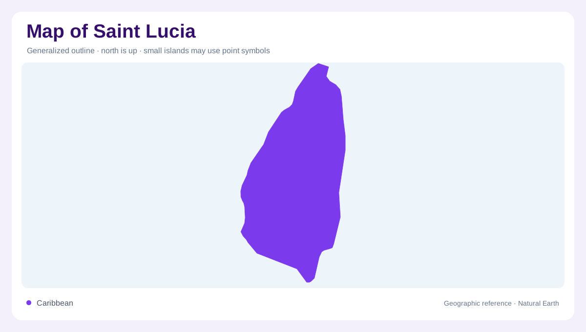
A volcanic Windward Island
Saint Lucia is a volcanic island in the eastern Caribbean and part of the Windward Islands. Its outline is more varied than a beach perimeter: mountains occupy the interior, valleys reach the coast, and bays indent western and northern margins. The Caribbean Sea borders the west while the Atlantic shapes the east, producing two coastal readings. Communities extend through the north, west, and south, but the central highlands remain the key geographic divider. Begin with the island as one mountainous unit, then use the five broad zones identified by the official tourism authority to compare their terrain and shorelines in detail.
Rainforest mountains around Mount Gimie
The interior is a mosaic of rainforest-covered mountains, winding valleys, and rural settlements. Mount Gimie is Saint Lucia's highest peak, rising within dense forest near the Edmund Forest Reserve in the Migny and Quilesse area. Mist and cloud often obscure the upper ridges, so shaded relief gives a better sense of the island than a coastal photograph. Drainage runs outward from this elevated core into valleys that reach different shores. This explains why short overland distances can cross steep slopes or watershed divides. The central zone is therefore not empty space between towns; it is the island's organizing terrain.
The Pitons and the western coast
Saint Lucia's western edge contains recognizable relief: Gros Piton and Petit Piton rise sharply from the Caribbean near Soufriere. Gros Piton reaches about 798 metres, while the steeper Petit Piton forms the volcanic counterpart. Their cones stand above a coast of bays, fishing communities, rainforest, waterfalls, and volcanic features around Sulphur Springs. Soufriere sits beneath the peaks, making it a useful anchor when reading the island from sea toward the interior. The Pitons are not two isolated hills on a level shore. They belong to a wider mountainous landscape whose ridges continue inland and whose valleys open toward the sea.
Northern bays and the southern opening
North Saint Lucia is more urban and maritime in character, with Rodney Bay and Gros Islet set among beaches, coves, and a marina. Pigeon Island projects from the northwest and carries Signal Peak, a low but useful lookout above the northern coastline. Far south, Vieux Fort occupies a broad coastal setting near the island's airport, while Moule a Chique marks a hilltop on the southern tip. The Atlantic-facing east coast is wilder and more exposed than many western bays, with a less continuous settlement pattern. Comparing north, south, east, and west prevents the Pitons from becoming the only geographic story.
Offshore islands and a protected southern reserve
The map should include Saint Lucia's islands, especially the Maria Islands Nature Reserve off the southern coast near Vieux Fort. Maria Major and Maria Minor have never been permanently inhabited and protect rare species in dry, wind-exposed habitats unlike the rainforested interior. Their rocky shores, small beaches, and grasslands show how strongly salt and exposure can change island ecology over a short distance. Pigeon Island forms a different northern landmark, joined to the main island by a causeway beside Rodney Bay and Gros Islet. At national scale, these islets look minor; they complete Saint Lucia's volcanic, coastal, and marine outline.