One island with two administrative parts
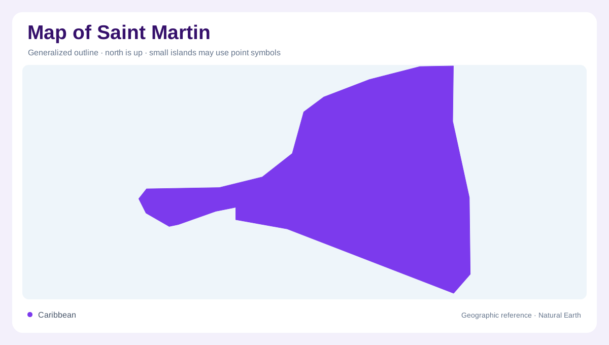
Saint Martin is a Caribbean island whose outline and administrative map do not coincide. The French Collectivité of Saint-Martin occupies one part of the island, while Sint Maarten is the neighboring Dutch part. This entry uses the ISO name Saint Martin for the French collectivity and keeps the two entities distinct while explaining how hills and coastal water extend across the shared island. At regional scale, the island sits among Anguilla, Saint Barthélemy, and the northeastern Caribbean chain. At local scale, clues are bays, hills, lagoons, salt ponds, and a densely indented shoreline rather than a large continuous mainland.
Hills between bays and coastal corridors
Saint Martin's land is compact, but the coast is broken into contrasting settings. Marigot and Grand Case provide French-side reference points on the western and northern portions, while Orient Bay and the Cul-de-Sac area help orient the east and northeast. The island's hills separate these coastal corridors, so a straight line between two bays does not describe the ground between them. Simpson Bay Lagoon, in the island's southwest, is a useful reminder that the island's largest water features can cross the political reading of a map. Shaded relief and shoreline labels together explain why nearby settlements belong to different coastal landscapes.
Reading the French Collectivity at close scale
A close map should distinguish the French Collectivity's settlements from the island-wide outline. Marigot faces a sheltered bay and functions as the clearest administrative reference on the French side; Grand Case occupies a coastal strip farther north, and the eastern side opens toward Orient Bay and smaller coves. Roads and built areas tend to follow gentler shore land, while steeper interior slopes interrupt shortest crossings. The correct geographic question is not simply where Saint Martin is, but which shore, ridge, pond, or islet a label describes. Keeping Sint Maarten visible beside the French territory prevents the collectivity from being mistaken for the whole island.
A protected mosaic of coastal ecosystems
The Saint-Martin National Nature Reserve covers about 30 square kilometres of protected marine space northeast of the island. Its management material identifies five principal ecosystems: coral reefs, mangroves, seagrass beds, salt ponds, and dry coastal forest. Those categories make the map more informative than a simple land boundary. Reefs buffer the coast and provide habitat, while mangroves and ponds occupy the meeting place of land and sea, storing sediment and moderating flooding after heavy rain. The fourteen protected salt ponds are useful map clues because they reveal low, water-sensitive basins behind the developed shoreline.
Offshore islets complete the outline
The protected marine area also includes small offshore features that should remain separate from the main island. Tintamarre is an undeveloped island east of Saint Martin; Pinel Island lies near Orient Bay; Green Cay and Creole Rock add smaller reef and islet references. The reserve describes these places as environmentally distinct sites, not extensions of the settlement network. Their reefs, beaches, mangroves, and nesting habitats occupy a different map layer from Marigot or Grand Case. A useful map of Saint Martin therefore works at two scales at once: the shared island's administrative geography and the French reserve's connected but separated marine landscape.