A main island and a broken southern chain
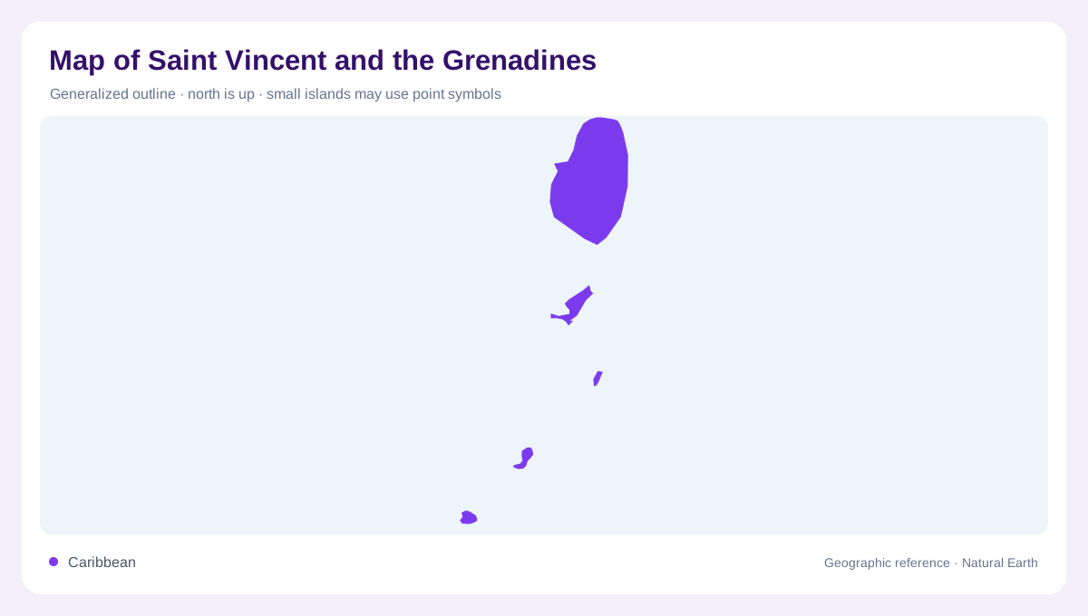
Saint Vincent and the Grenadines is an archipelagic Caribbean country whose geography changes sharply from one end to the other. Saint Vincent is the large, mountainous northern island; the Grenadines extend southward as a long sequence of islands, islets, reefs, and cays. The official tourism authority describes 32 islands and cays, but they do not form a continuous land bridge. A national map should leave enough sea between symbols to show the chain's spacing, then distinguish substantial inhabited islands from uninhabited reef features. Coastlines, anchorages, and marine parks often explain the map more clearly than the country outline alone.
Saint Vincent rises to La Soufriere
Saint Vincent has the archipelago's dominant relief, with tropical rainforest, steep mountains, waterfalls, and volcanic black-sand shores. La Soufriere forms the island's northern summit and gives the main island a strong north-south spine. Valleys and ridges descend toward coastal villages and bays, while the western and eastern shores present different exposures to the Caribbean and Atlantic sides of the island. On a relief map, the mountains explain why settlements gather around lower coastal corridors rather than filling the interior. Saint Vincent should never be reduced to a marker for the Grenadines; it is a volcanic landscape with drainage and coastal logic.
Bequia, Mustique and Canouan
Bequia is the first major Grenadine reference south of Saint Vincent, about nine miles away. Its hills, coastal woodland, fertile plains, steep cliffs, coves, and bays surround Port Elizabeth on Admiralty Bay. Farther south, Canouan sits between Bequia and the Tobago Cays, with Charlestown and its wharf on the island's central coast. Canouan rises to Mount Royal at about 877 feet and carries a long barrier reef along its windward side. Mustique belongs in the chain even though its outline is smaller on a national map. Together, these islands show how short distances can separate different relief, settlement, and reef patterns.
Union Island, Mayreau and Tobago Cays
The southern Grenadines become more tightly interwoven around Union Island, Mayreau, and Tobago Cays. Union's volcanic pinnacles rise to Mount Taboi, about 999 feet, while Clifton Harbour and Ashton Harbour occupy contrasting coastal settings; Frigate Island is connected by an isthmus comprising a narrow sandy and mangrove strip. Mayreau lies north of Union and west of the Tobago Cays, with a small elevated interior and sheltered bays. East of Mayreau, the Tobago Cays Marine Park consists of five uninhabited islands protected by Horseshoe Reef. These names are essential for interpreting the chain's reefs, lagoons, and shallow water.
A map built from islands and water
Read the country from north to south, but do not treat every island as a smaller copy of Saint Vincent. Bequia's Admiralty Bay, Canouan's barrier reef, Union's lagoons, Mayreau's salt pond, and Tobago Cays' reef enclosure each create a coastal diagram. Leeward and windward sides also alternate in importance as the chain bends, so a sheltered bay on one island may face an exposed coast on its neighbour. Palm Island, Petit St Vincent, Young Island, and the remaining cays complete the archipelago's scattered outline. The most accurate mental map is a volcanic main island followed by an ocean-separated sequence of separate landforms.