A ten-island Polynesian archipelago
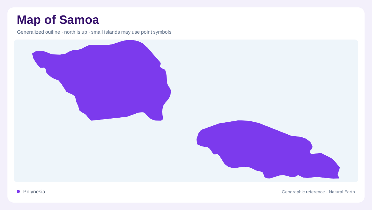
Samoa is an archipelago of ten islands in the central South Pacific, not a single island with a few insignificant rocks. Four islands are inhabited: Upolu, Savai'i, Apolima, and Manono. Upolu and Savai'i dominate the map, while the smaller islands occupy the Apolima Strait and waters around the main pair. The archipelago's volcanic origin appears in its mountains, crater lakes, lava fields, and rugged coasts, while coral reefs and lagoons shape the lower margins. A useful national map should show the islands as a connected cultural and geographic group without compressing their different sizes, relief, or settlement patterns into one generic tropical outline.
Upolu and the north-coast capital
Upolu is about 75 kilometres long and covers roughly 1,125 square kilometres. It is the more populous main island and contains Apia on the north coast, where urban geography contrasts with the forested interior. Mountains rise behind the coastal belt, with peaks reaching about 3,652 feet, while south-coast valleys, waterfalls, beaches, and coral reefs create a different sequence of landscape. Lake Lanoto'o occupies a bush-clad volcanic crater inland. Read Upolu from north to south: Apia and coastal settlements sit below a mountainous core of steep central ridges and valleys, then roads and drainage cross toward a more open southern shore.
Savai'i, lava fields and the highest summit
Savai'i is larger than neighboring Upolu, extending about 80 kilometres from end to end and around 40 kilometres across. Its broad, rugged volcanic interior is sparsely settled compared with Upolu, and the island's physical landmarks are unusually legible on a map there. Mount Silisili rises above 6,000 feet in the central region, while the Saleaula lava fields record the eruption of Mount Matavanu between 1905 and 1911. Lava tubes, black-rock coastlines, waterfalls, and volcanic plateaus continue the same geological story. Salelologa marks the eastern gateway, but the island's dominant pattern is a large, mountainous landmass wrapped by villages and ocean.
Apolima, Manono and offshore habitats
The Apolima Strait divides the two main islands and contains inhabited Apolima and Manono. Apolima rises as an inactive volcanic crater, with steep enclosing slopes around its small settlement. Manono presents a different arrangement: four villages occupy an island bordered by a lagoon and reefs. Namu'a stands near Upolu's southeastern coast, close enough to remain visibly related to the larger island but separated by seawater. Nu'utele, Nu'uala and Fanuatapu provide additional offshore references. Around these smaller landforms, seabirds, flying foxes and marine habitats add ecological significance that their modest size on a national map can easily conceal.
Volcanic relief meets reef-fringed shores
Samoa's map becomes clearer when volcanic height and ocean edge are read together. On Upolu, the O Le Pupu-Pu'e National Park spans forested mountain and clifftop coast, while To-Sua Ocean Trench shows a water-filled volcanic landform near the south coast. Savai'i's recent lava and rugged shores contrast with beaches and reef-protected lagoons around the inhabited islands. Waterfalls descend from wet mountains on both main islands, but their locations depend on local relief rather than a single national river system. The best overview preserves three layers at once: high volcanic interiors, inhabited coastal belts, and small islands distributed through surrounding sea.