An enclave near the Adriatic
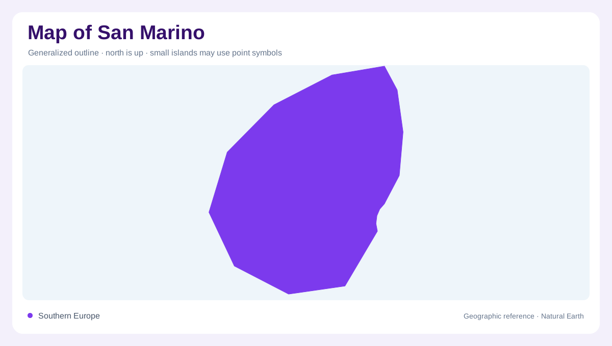
San Marino is enclosed by Italy, near the Adriatic side of the northern Apennines. Its territory lies between the Italian regions of Emilia-Romagna and Marche, with Rimini providing a coastal reference. The sea is outside the republic: proximity to the Adriatic does not give San Marino a shoreline. Within an area of roughly sixty-one square kilometres, hills rise sharply above lower ground and carry a dispersed pattern of settlements. A regional view establishes the Italian surroundings, while a detailed physical map reveals the steep gradients hidden inside the compact boundary. Monte Titano gives this enclave its unmistakable elevated center.
Monte Titano anchors the relief
The territory is predominantly hilly, and Monte Titano is its defining landform. Rising to 755 metres, the mountain dominates the republic and creates a steep visual contrast with the lower Italian plain around it. Monte Titano marks the beginning of the Tusco-Romagnolo Apennines, so San Marino's apparently isolated ridge belongs to a wider mountain system. The summit and upper slopes provide the best geographic anchor when reading the country from above: roads, settlements, and administrative areas spread away from a high central massif rather than across a uniform lowland. Relief shading is essential because the national boundary alone understates the terrain.
From the Titano ridge to Falciano
Elevation falls away from Monte Titano toward the republic's lower northern and eastern ground. Falciano, within Serravalle, is identified by the official tourism office as the country's lowest point at 55 metres above sea level. Hills interrupt this descent. This difference creates a compressed vertical journey: a map can place the highest ridge and lowest locality only a short distance apart, yet the intervening hills change the view and drainage. Serravalle occupies the broader lower setting, while the capital area clings to the mountain's slopes. Reading place names with contours prevents the small territory from appearing flatter than it is.
Streams run toward the Adriatic
San Marino's hills belong to drainage systems reaching the Adriatic. The Marano and the neighboring Marecchia provide useful regional river references, connecting this elevated landscape with lower Italian ground nearer the coast. Neither stream turns San Marino into a river valley country; instead, short mountain watercourses cut through the hilly terrain and connect the enclave to a larger Italian river watershed. Their direction gives the map an outward orientation even though San Marino has no coastline. Valleys, slopes, and small watercourses explain why a neighbouring Italian boundary can be close in distance but separated by changes in elevation and catchment.
Nine Castelli in a compact landscape
San Marino's administrative map is divided into nine Castelli, units that overlay the physical pattern of mountain, hill, and lowland. The capital's core occupies the Titano massif, while other Castelli extend down its flanks toward Italy's surrounding provinces. At overview scale, these divisions overlay rather than explain the relief; at close scale, they help organize villages, roads, and slopes within a small country. The best map combines the enclave boundary, Monte Titano's 755-metre summit, Falciano's low point, and the drainage direction toward the Adriatic. Together they show San Marino as a hilly Apennine outpost, not merely a dot inside Italy.