A peninsula between two seas
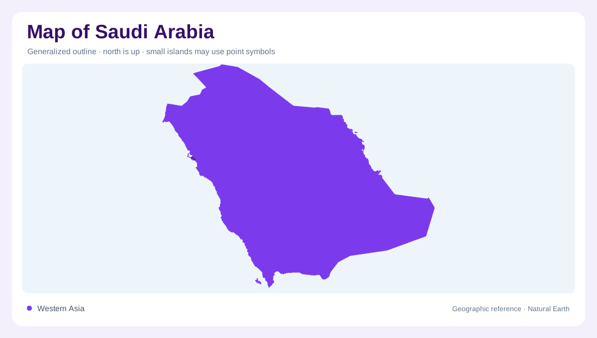
Saudi Arabia occupies most of the Arabian Peninsula, so its outline is read against two very different seas. The Red Sea forms the long western edge, while the Arabian Gulf indents the east. Jordan, Iraq, Kuwait, Qatar, the United Arab Emirates, Oman, and Yemen sit around its land borders; a map may show Qatar and the Emirates as small coastal neighbours rather than part of the kingdom. The territory stretches far enough north–south that latitude changes the scenery. Coastal strips, inland plateaus, and desert basins should be read as connected bands, not as isolated destinations. This broad frame anchors every regional map and it links the Levant, the Gulf, and the Indian Ocean approaches in one geographic canvas.
The western escarpment and Red Sea islands
Along the west, the Hijaz and Asir highlands rise behind the Red Sea littoral. Visit Saudi describes Aseer through the Sarawat Mountains, forests, valleys, and Al Soudah, a prominent summit within the southwestern highlands. South of the main coast, Jazan extends along the Red Sea and points toward the Farasan Islands, a protected archipelago of islands and coral islets. On a map, this is a relief-and-water margin: steep uplands stand close to marine plains, while offshore fragments make the coastline look more complex than a single continuous shore.
Plateaus, rock country, and sand belts
Between the western mountains and the Gulf, broad interior surfaces give Saudi Arabia its continental scale. The Najd plateau around Riyadh is a useful central reference, while AlUla shows how desert relief can be carved into mesas, cliffs, and narrow valleys. The Empty Quarter occupies the far southeast as a vast sand region, with the An Nafud and Dahna forming other major desert belts farther north and east. These names mark different textures: rocky highland, gravel plain, and dune field. A small-scale map compresses them into one colour, but contour lines and shaded relief restore their distinctions.
The Gulf shore and Al Ahsa oasis
The eastern province faces the Arabian Gulf and presents a lower, flatter counterpoint to the western escarpment. Official destination material places Dammam, Dhahran, and Al Khobar along this coastal setting, while Al Ahsa is recognized for palm groves and caves inland from the shore. The map should be read as a transition from saline coast to settled oasis and then to open interior. Farasan belongs to the western side instead: its islands and coral islets are separated from the mainland by Red Sea water, so they should not be mistaken for coastal suburbs or mainland districts.
Reading the country at different scales
Use a national map first to identify the two marine façades, the long mountain arc, and the deserts between them. Then zoom toward a destination: Aseer requires elevation lines, AlUla rewards close attention to escarpments and wadis, and the Eastern Province needs a clear distinction between Gulf shoreline and inland oasis. Saudi Arabia’s geographic story is therefore about gradients as much as landmarks. The country is not a featureless desert block; it is a layered arrangement of coasts, highlands, plateaus, dune fields, islands, and water-shaped settlements. That hierarchy makes regional labels easier to place without confusing one regional landscape with another.