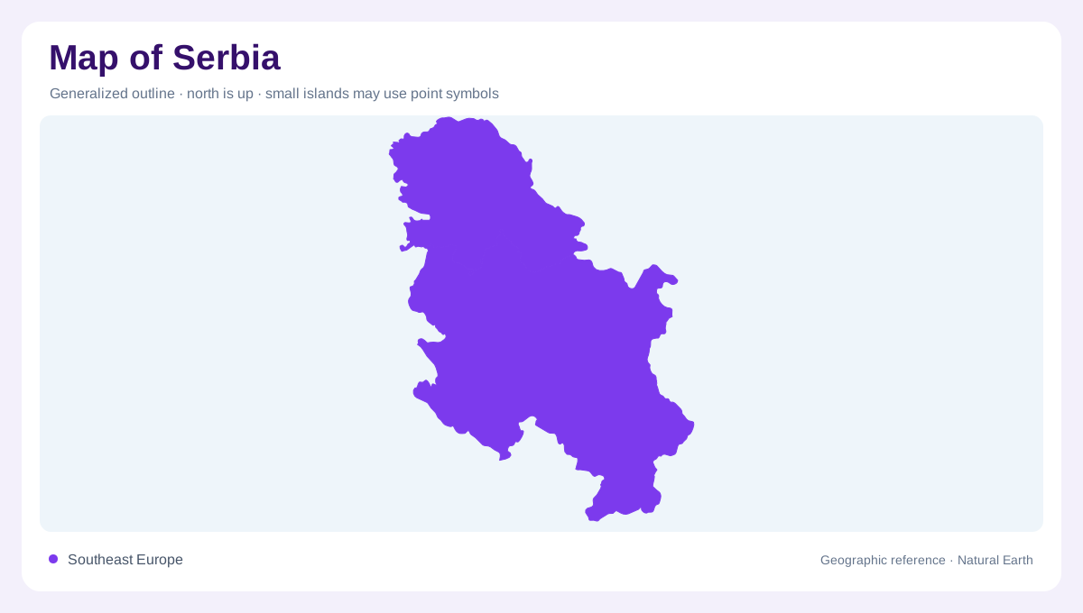
A Balkan meeting place
Serbia lies in the heart of the Balkan Peninsula, where broad northern lowlands meet hill and mountain country toward the south. Its landlocked outline has no sea coast, so rivers and cross-border basins do much of the orienting. The Danube enters from the northwest and cuts eastward; the Sava joins it near Belgrade, while the Drina traces much of the western edge. A national map is therefore best read as a meeting place of plains, river corridors, and upland basins rather than as a single uniform block. The official tourism organization emphasizes the same north–south contrast, from vast plains to high mountains. It is a geography of transition, not a simple north-south stripe.
Northern lowlands and Danube wetlands
Vojvodina forms the broad northern reading of the country. Flat agricultural surfaces and the Danube–Tisza lowland make contours widely spaced, while wetland pockets interrupt the apparent regularity. The Bačko Podunavlje biosphere reserve sits in this Danube landscape, and the tourism authority also notes extensive wetland areas and the Deliblato sandy landscape. On a map, river bends, oxbows, floodplain forests, and sandy ground can all lie close together. Belgrade marks the southern edge of this lowland story, where the Sava and Danube create a major river confluence and the terrain begins to feel more varied. The lowlands open toward the wider Danube basin.
Forested mountains and upland reserves
South of the northern plain, relief becomes more broken. Serbia’s mountains carry dense forests, open meadows, fast rivers, and clear lakes, according to the official nature profile. The Golija–Studenica biosphere reserve represents one protected mountain landscape, while national parks and nature monuments provide additional reference areas. A map reader should distinguish a named mountain range from a municipality or town: labels can overlap spatially without describing the same thing. Shaded relief is especially useful here, because valleys and ridgelines explain why settlements cluster along corridors instead of spreading evenly across the uplands.
Rivers as geographic organizers
Water is a second organizing layer. The Danube and Sava connect Serbia to wider European drainage, while the Drina descends through a more rugged western setting. Lakes and waterfalls appear as local features rather than a continuous inland shoreline. The official tourism pages describe fishing-rich rivers and lakes, rapid mountain streams, and wetlands that support shorebirds. Those details matter cartographically: a blue line may indicate a major navigable corridor, a mountain torrent, or a small tributary. Scale determines which waterways deserve labels and which remain part of the background network. River direction can reveal relief even when contours are sparse.
A map that changes with scale
At the broadest scale, place Serbia between the Pannonian plain to the north and Balkan uplands to the south. At regional scale, follow the Danube east and the Sava toward the capital, then compare western river valleys with the southern mountain arc. Nature reserves, caves, sand country, and wetlands add texture that political boundaries cannot show. The result is a layered map: lowland and highland, open farmland and forest, main river and tributary, protected reserve and settled corridor. Reading those contrasts together gives Serbia a clearer geographic identity than memorizing city locations alone.