An archipelago in separated clusters
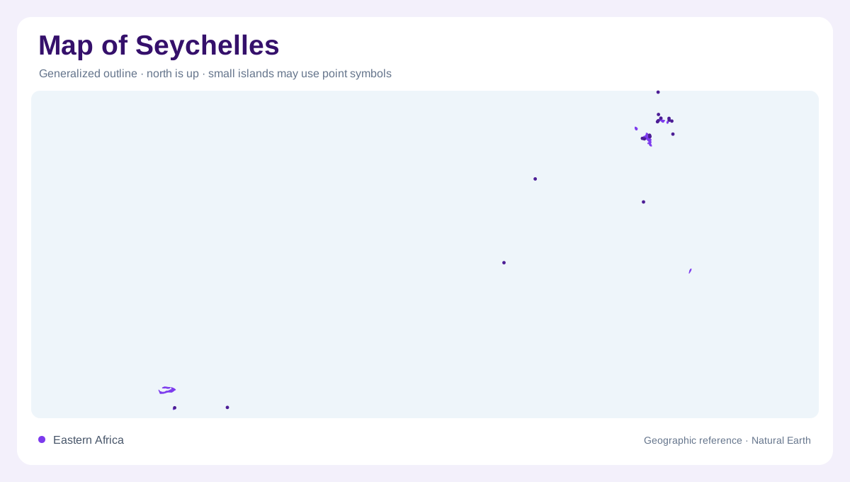
Seychelles is an Indian Ocean archipelago whose map separates a relatively compact inner group from far-flung outer islands and atolls. Mahé, Praslin, La Digue, and Silhouette anchor the granitic core, while Aldabra, Farquhar, Cosmoledo, and the Amirantes belong to a more dispersed outer geography. The official environment profile notes that outer islands make up more than half of the archipelago’s total number, so the blank ocean between symbols is meaningful. It marks distance, different geology, and difficult cartographic scale. Read the country as a constellation of landforms, not as one continuous island or a single urbanized coast. That distinction matters whenever a map compresses the islands into a few dots.
Mahé’s mountain spine
Mahé is the largest granitic island and the location of Victoria, commercial ports, and the country’s administrative and financial centre. Its spine rises into Morne Seychellois National Park, where the highest peak reaches 906 metres. The environment ministry describes low coastal forests and mangrove swamps, intermediate secondary growth, and higher mist forests, creating a strong altitudinal sequence. On a physical map, Mahé’s narrow coastal settlement belt contrasts with an interior of steep ridges and protected forest. Contours explain why short distances can contain beaches, wet valleys, and clouded summits. The capital’s position is therefore coastal, while the island’s highest ground stays inland.
Silhouette, Praslin, and Curieuse
Silhouette, the third-largest island, rises to about 750 metres and preserves a full transition from coastal sand dunes to high-altitude mist forest. Its difficult terrain has limited agricultural and forestry use, leaving unusually extensive remnants of older ecosystems. Praslin contributes a different landmark: the Vallée de Mai and the wild coco-de-mer palm. Nearby Curieuse lies just over a kilometre from Praslin and combines mangroves, turtle beaches, and another natural coco-de-mer population. These islands are close on a regional chart, yet each has a distinctive relief-and-vegetation signature. Distances on the page should not erase those ecological differences.
Outer islands and atoll geography
The outer map requires a lighter touch. Government information describes Farquhar’s South and Goëlettes islands, the Cosmoledo atoll, Desnoeufs in the Amirantes, and Aldabra as low or coralline settings with mangroves, seabird colonies, turtle beaches, and marine habitats. Some islands are remote, abandoned, or scientifically incompletely known; a blank symbol does not imply a town, road, or visitor facility. Aldabra is managed by the Seychelles Islands Foundation, while many other outer islands fall under government or parastatal arrangements. Their geography is ecological before it is urban. Coral islands also sit lower and flatter than the granitic inner group.
Reading Seychelles at national scale
For orientation, start with Mahé and the granitic inner islands, then move southwest across increasingly scattered coral formations. Use island names, atoll outlines, reef shapes, and protected-area labels together; a simple national inset can hide enormous distances. SIF notes that Aldabra and the Vallée de Mai are more than 1,000 kilometres apart, despite belonging to the same state. SPGA lists terrestrial parks on Mahé, Praslin, and La Digue alongside marine parks around several islands. Seychelles therefore reads best as linked ecological zones, not a conventional mainland road map. This key explains the wider archipelago.