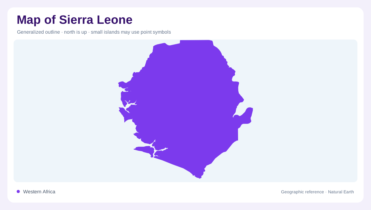
A west-facing Atlantic outline
Sierra Leone occupies a west-facing corner of Africa between Guinea to the northeast, Liberia to the southeast, and the Atlantic Ocean to the southwest. Its coastline runs for about 400 kilometres, and the capital sits on a peninsula beside Freetown Harbour. The official ministry profile describes four broad geographic zones: a largely flat coast, mangrove swamps, rainforest-covered plains and farmland, and an eastern upland plateau with mountains. That sequence gives the national map a clear west-to-east gradient. Coastline, estuary, lowland, forest, and highland should be read as connected belts rather than separate destinations. The coast is not a narrow decorative border; it is a working geographic corridor.
Peninsula, estuary, and island groups
The Freetown Peninsula is the country’s most recognizable coastal projection. Around it, the Sierra Leone River estuary opens inland, while Plantain, Banana, Bunce, and Turtle islands add offshore and estuarine detail. The ministry identifies three Banana Islands: Dublin and Ricketts are linked by a stone causeway, while Mes-Meheux is uninhabited. Bunce Island lies in the estuary of the Rokel River and Port Loko Creek. Farther offshore, the Turtle Islands form an eight-island archipelago west of Sherbro Island. These names help separate river islands, coastal groups, and open Atlantic islands. Their arrangement makes water depth and estuary shape far more important than distance alone.
From mangrove shore to inland forest
Moving inland, low mangrove shorelines give way to wetter plains, agricultural country, and forested hill systems. The eastern plateau is the major relief anchor, but smaller ranges and reserves interrupt the transition well before the far east. Outamba-Kilimi National Park in the north consists of two distinct areas separated by a broad corridor, illustrating how protected landscapes can be discontinuous on a map. In the south, Tiwai Island sits between two arms of the Moa River near the western edge of South Gola forest. Waterways continue to organize settlement and habitat. Wetlands can be wide, seasonal, and difficult to distinguish from river margins.
Loma Mountains and eastern relief
The Loma Mountains and Mount Bintumani mark Sierra Leone’s highest upland, with the ministry giving Bintumani an elevation of 1,948 metres. Gola Rainforest lies in the east, while Kambui and Kangari hills add further forested relief. These areas should be read as a chain of ecological highlands rather than one unbroken mountain wall. Shaded relief reveals the difference between a plateau, an isolated hill, and a river island. It also explains why the country’s eastern map feels more textured than the flatter coastal plains beyond Freetown. The elevation is a regional clue, not a promise of continuous alpine terrain.
Reading the country from coast inward
At country scale, place Freetown on the western peninsula, trace the estuarine water inland, and then follow the coast south and east toward island groups. At regional scale, compare the flat mangrove fringe with the forest belt, upland plateau, and mountain peaks. Tiwai and Gola locate southeastern landscapes, while the Loma Mountains rise in northeastern country; Banana and Turtle islands keep the maritime story visible. Sierra Leone is therefore a map of transitions: Atlantic edge to estuary, mangrove to farmland, rainforest to plateau, and river corridor to mountain.