An island city between straits
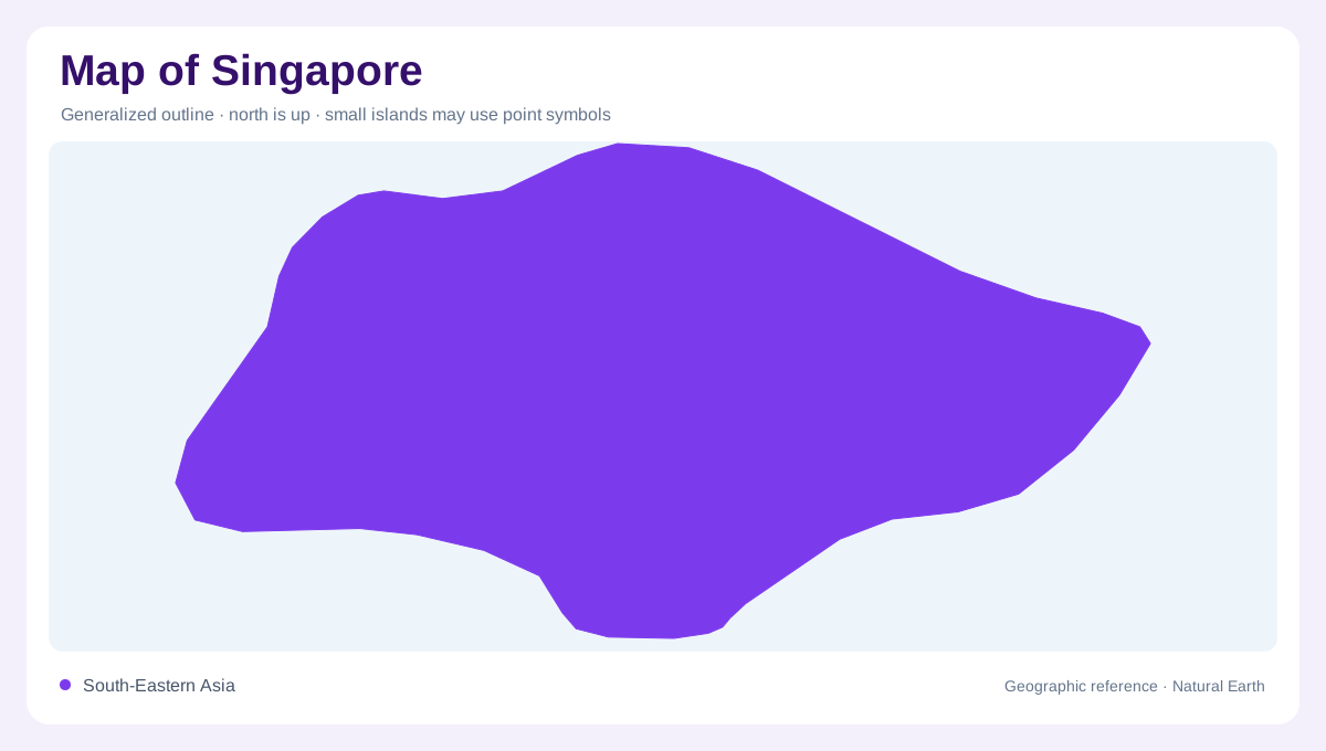
Singapore is a compact island city-state at the southern end of the Malay Peninsula, with the Johor Strait to the north and the Singapore Strait to the south. The main island carries the dense urban core, but a map also needs Pulau Ubin, Pulau Tekong, Sentosa, the Southern Islands, and smaller marine outcrops. Water is therefore part of the national outline rather than an empty margin. Roads and buildings can dominate a city map, yet the larger geographic pattern is an island edge wrapped around reservoirs, wetlands, forest remnants, and reclaimed or industrial shorelines. Even the gaps between labels are meaningful because water separates one ecological unit from another.
The central catchment and forest core
Central Singapore is not simply built-up land. The Central Catchment Nature Reserve covers 3,043 hectares and contains more than 2,000 hectares of forest, with reservoirs at MacRitchie, Upper Peirce, Lower Peirce, and Upper Seletar. Nee Soon Swamp Forest adds a rare freshwater swamp environment. On a map, these protected spaces form an inland green mass, with water bodies and forest tracks breaking the surrounding urban texture. Bukit Timah Nature Reserve, at 163 hectares, preserves primary forest on a separate central high point. Together, the reserves explain why the island’s interior can read as a connected ecological corridor.
Northern wetlands and offshore habitats
Northward, Sungei Buloh Wetland Reserve gives the map a different texture: mangroves, mudflats, ponds, and forests meet the coastal edge. The reserve’s 202 hectares are best understood as tidal landscape rather than ordinary parkland. Nearby nature networks extend the wetland story toward the Johor Strait, while Pulau Ubin and Pulau Tekong place larger island habitats just offshore. These names matter because the northern shoreline is not one continuous urban frontage. Channels, intertidal ground, and island edges create a fragmented pattern that becomes clearer as the map enlarges. A shaded symbol can indicate habitat, not settlement.
Southern ridges, shores, and islands
South of the central catchment, the map turns toward ridges, rocky shores, and marine islands. NParks describes Labrador as a coastal nature area with rocky shore, shallow coral, and rubble, while the Southern Ridges link green spaces across roughly ten kilometres. From those ridges, the Southern Islands become visible as a chain of separate landforms rather than a single extension of the main island. Sisters’ Islands Marine Nature Area adds a specifically marine reference. This southern layer shows how Singapore’s geography continues beyond the urban shoreline into reefs, channels, and island waters.
Reading the compact national map
At national scale, Singapore can look like one intensely urban island, but its official nature network requires several map layers. First locate the main island and its straits; then distinguish reservoirs and reserves from built districts; finally add offshore islands, mangrove margins, and marine parks. NParks groups habitats into terrestrial, freshwater, coastal, and marine ecosystems, so a useful map should preserve those differences. The result is a city-state whose geographic identity comes from proximity: forest beside housing, wetland beside industry, and protected island habitat across a short water crossing. The same outline supports both metropolitan and ecological readings. Scale changes what is visible, not the underlying pattern.