A Central European hinge
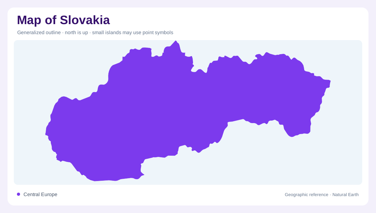
Slovakia occupies a compact position in Central Europe, where the Carpathian arc bends around its northern and eastern landscapes. The country spans about 49,035 square kilometres between roughly 47 and 49 degrees north and 17 and 22 degrees east. Its neighbours are Austria, Czechia, Poland, Ukraine and Hungary. This central placement gives the map both continental connections and strong regional contrasts. Mountain country covers much of the middle and north, while lower plains open mainly southward and eastward. Bratislava sits at the southwestern gateway, close to the Danube and the meeting zone of several national borders within the continent's interior.
The Carpathian backbone
The Carpathians form Slovakia's dominant relief, with the High Tatras creating the sharpest skyline along the northern frontier. Gerlachovský štít rises to 2,655 metres, the country's highest point, among glacial valleys, rocky ridges and high mountain basins. Lower Tatras, Greater Fatra and Lesser Fatra extend the elevated pattern westward and southward, while the Slovak Ore Mountains occupy much of the centre. These ranges are not isolated decorations on a map. They divide valleys, redirect roads and separate river catchments. Their curved arrangement also explains why adjacent districts can face markedly different slopes, elevations and winter conditions within the same country.
Danube and interior drainage
The Danube defines Slovakia's southwestern edge and connects Bratislava with the wider basin of Vienna and Budapest. Its broad floodplain contrasts with the narrow valleys descending from the Carpathians. The Váh runs through western and central country before joining the Danube, while the Hron follows a more easterly route from mountain country toward the same lowland system. In the east, the Bodrog reaches its lowest Slovak point near Streda nad Bodrogom, at about 94 metres above sea level. Rivers therefore reveal the country's structure: uplands collect water, basins gather it, and boundary plains carry it outward beyond the national frame.
Lowlands along the southern rim
Slovakia's broadest lowland surfaces lie south of the mountain belt. The Danubian Lowland spreads around the lower Váh and Nitra, with exceptionally open terrain toward Hungary. Farther east, the East Slovak Lowland forms a flatter transition around the Bodrog and Latorica, where wetlands and flood channels make drainage especially legible. Between these expanses, basins such as Košice soften the mountain pattern without erasing it. Agricultural fields, river terraces and low wooded hills occupy much of the southern view. These southern plains contrast with the High Tatras, where glacially carved valleys and rocky peaks produce steeper ground along the northern frontier.
Regions in a layered landscape
Eight self-governing regions provide an administrative overlay on this physical arrangement, but their boundaries do not replace landforms. Žilina is closely associated with mountain valleys, Banská Bystrica with central uplands and the Hron, and Košice with eastern basins and nearby cave country. Prešov reaches toward the highest northern peaks, while Bratislava occupies the low southwestern entrance. The map becomes most useful when both layers remain visible: regional names explain governance, and contours explain movement, water and settlement. Slovakia's geographic identity emerges from their interaction, linking a compact state to several distinct Carpathian environments rather than flattening its terrain into one.